Transport Functions
Port
Hub Profile
Place type
Populated place
Region
Nordland
Time zone
Europe/Oslo
Elevation
100 m
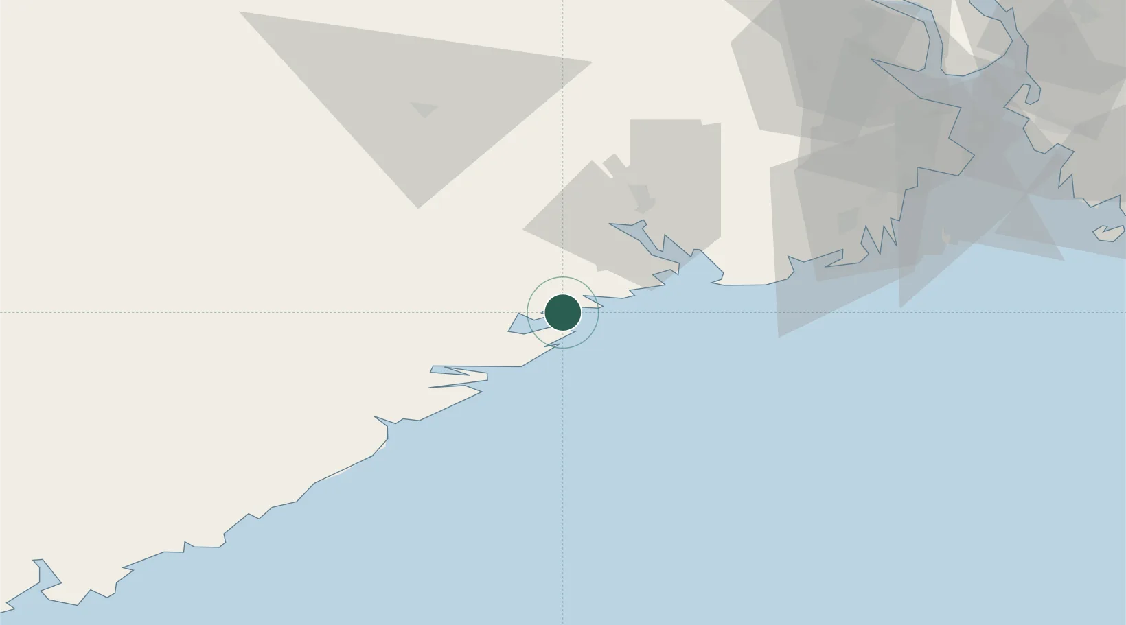
Location
Nearby Logistics Neighbours
Cities
- 1Helle - Kragerø2 km
- 2Kragerø2 km
- 3Kjørebonn4 km
- 4Åtangen4 km
- 5Fossing6 km
Airports
- 1Skien Airport35 km
- 2Sandefjord Airport, Torp59 km
- 3Notodden Airport77 km
- 4Moss Airport, Rygge96 km
- 5Kristiansand Airport108 km
Trade Zones
- 1Gothenburg Boundless Customs Warehouse192 km
- 2Jönköping Free Zone300 km
- 3Freeport of Copenhagen- Nordhavn401 km
- 4MTS Malmö Transport and Spedition426 km
- 5Freeport of Kiel508 km
DatabookThe Record of Consolidated Knowledge
Norway beyond logistics?