UN/LOCODE hub · Norway
NOKJB

Kjørebonn

58.9000°, 9.4833°
1
Transport functions

Transport Functions

Port
UN/LOCODE

Hub Profile

Region
08
GeoNames

Location

Location of NOKJB
Natural Earth 10m (public domain) · 08 · NOKJB · 58.90, 9.48GoogleOSMYandex

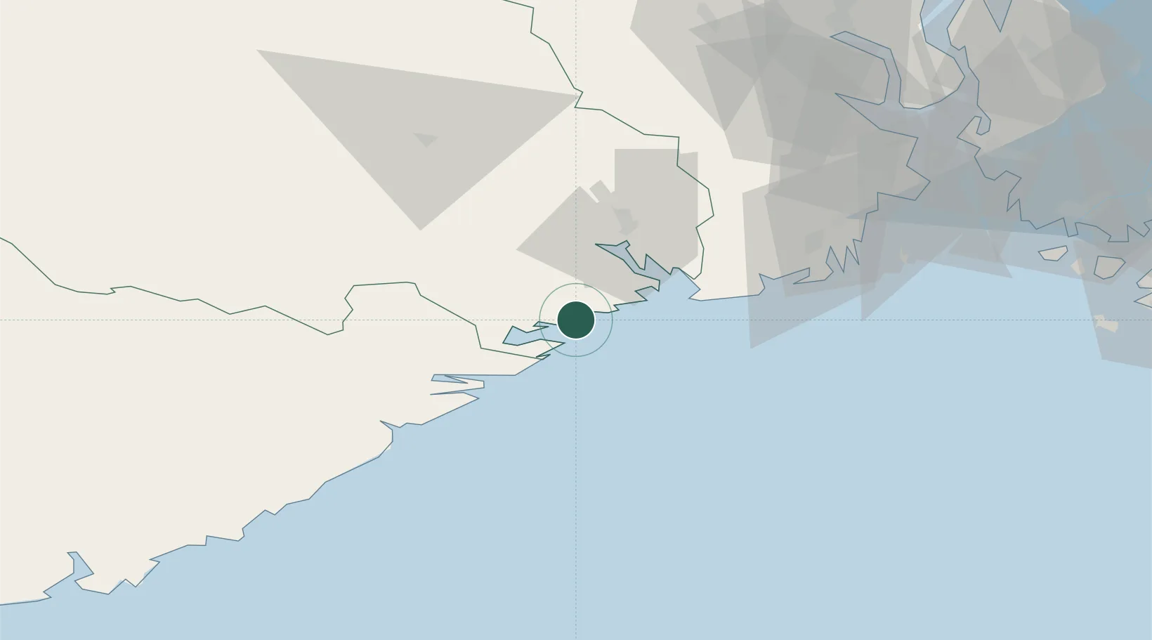
Nearby Logistics Neighbours

Cities
  1. 1Fossing4 km
  2. 2Valberg4 km
  3. 3Helle - Kragerø5 km
  4. 4Kragerø6 km
  5. 5Åtangen9 km
Nearest neighbours — logibook spatial index (haversine) over the source coordinates
Ports
  1. 1Kragero6 km
  2. 2Brevik22 km
  3. 3Risor24 km
  4. 4Porsgrunn29 km
  5. 5Skien34 km
Nearest neighbours — logibook spatial index (haversine) over the source coordinates
Airports
  1. 1Skien Airport32 km
  2. 2Sandefjord Airport, Torp55 km
  3. 3Notodden Airport76 km
  4. 4Moss Airport, Rygge91 km
  5. 5Kristiansand Airport112 km
Nearest neighbours — logibook spatial index (haversine) over the source coordinates
Trade Zones
  1. 1Gothenburg Boundless Customs Warehouse190 km
  2. 2Jönköping Free Zone297 km
  3. 3Freeport of Copenhagen- Nordhavn401 km
  4. 4MTS Malmö Transport and Spedition426 km
  5. 5Freeport of Kiel509 km
Nearest neighbours — logibook spatial index (haversine) over the source coordinates
DatabookThe Record of Consolidated Knowledge
Norway beyond logistics?
Browse databook

All Sources

LocationsUN/LOCODE
UN/LOCODE — free
Portsthe NGA World Port Index
Public domain (US gov)
AirportsOurAirports
Public domain
Trade Zonesthe World Bank SEZ database
CC BY 4.0
Trade ZonesOpen Zone Map
CC BY
← Norway locations