UN/LOCODE hub · Norway
NOFOI

Fossing

58.9333°, 9.4667°
1
Transport functions

Transport Functions

Port
UN/LOCODE

Hub Profile

Region
08
GeoNames

Location

Location of NOFOI
Natural Earth 10m (public domain) · 08 · NOFOI · 58.93, 9.47GoogleOSMYandex

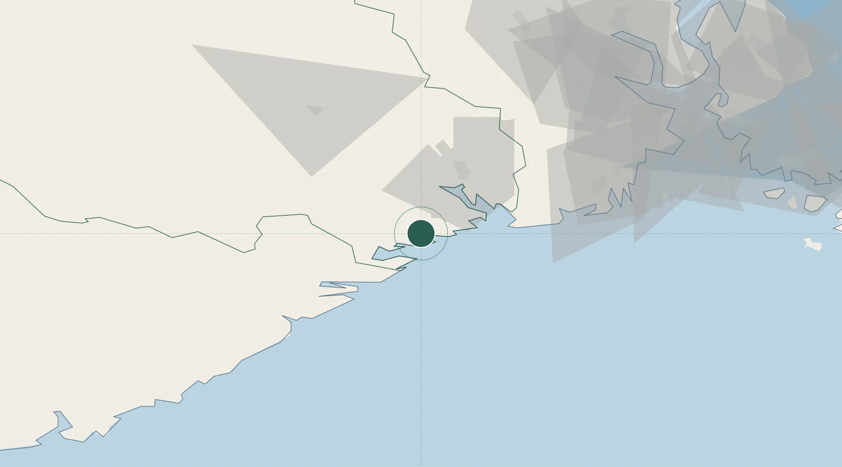
Nearby Logistics Neighbours

Cities
  1. 1Kjørebonn4 km
  2. 2Helle - Kragerø5 km
  3. 3Valberg6 km
  4. 4Kragerø8 km
  5. 5Åtangen10 km
Nearest neighbours — logibook spatial index (haversine) over the source coordinates
Ports
  1. 1Kragero8 km
  2. 2Brevik20 km
  3. 3Porsgrunn26 km
  4. 4Risor27 km
  5. 5Skien31 km
Nearest neighbours — logibook spatial index (haversine) over the source coordinates
Airports
  1. 1Skien Airport29 km
  2. 2Sandefjord Airport, Torp53 km
  3. 3Notodden Airport72 km
  4. 4Moss Airport, Rygge90 km
  5. 5Kristiansand Airport114 km
Nearest neighbours — logibook spatial index (haversine) over the source coordinates
Trade Zones
  1. 1Gothenburg Boundless Customs Warehouse193 km
  2. 2Jönköping Free Zone299 km
  3. 3Freeport of Copenhagen- Nordhavn404 km
  4. 4MTS Malmö Transport and Spedition429 km
  5. 5Freeport of Kiel513 km
Nearest neighbours — logibook spatial index (haversine) over the source coordinates
DatabookThe Record of Consolidated Knowledge
Norway beyond logistics?
Browse databook

All Sources

LocationsUN/LOCODE
UN/LOCODE — free
Portsthe NGA World Port Index
Public domain (US gov)
AirportsOurAirports
Public domain
Trade Zonesthe World Bank SEZ database
CC BY 4.0
Trade ZonesOpen Zone Map
CC BY
← Norway locations