UN/LOCODE hub · Norway
NOUBO

Uløybukt

69.8500°, 20.7000°
1
Transport functions

Transport Functions

Port
UN/LOCODE

Hub Profile

Region
19
GeoNames

Location

Location of NOUBO
Natural Earth 10m (public domain) · 19 · NOUBO · 69.85, 20.70GoogleOSMYandex

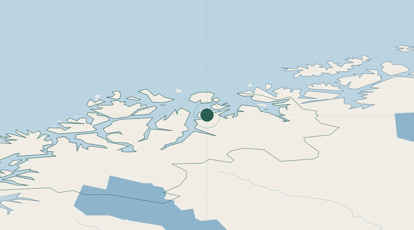
Nearby Logistics Neighbours

Cities
  1. 1Sørkjosen11 km
  2. 2Djupvik14 km
  3. 3Nordlenangen22 km
  4. 4Arnøyhamn22 km
  5. 5Skjervøy23 km
Nearest neighbours — logibook spatial index (haversine) over the source coordinates
Ports
  1. 1Tromso70 km
  2. 2Olavsvern75 km
  3. 3Oksfjord76 km
  4. 4Alta98 km
  5. 5Sorvaer99 km
Nearest neighbours — logibook spatial index (haversine) over the source coordinates
Airports
  1. 1Sørkjosen Airport12 km
  2. 2Tromsø Airport71 km
  3. 3Hasvik Airport89 km
  4. 4Alta Airport103 km
  5. 5Bardufoss Airport122 km
Nearest neighbours — logibook spatial index (haversine) over the source coordinates
Trade Zones
  1. 1Murmansk Special Economic Zone494 km
  2. 2Oulu Port Free Warehouse Area576 km
  3. 3Free Zone of Lappeenranta1036 km
  4. 4Turku Free Zone1048 km
  5. 5Port of Hamina-Kotka1082 km
Nearest neighbours — logibook spatial index (haversine) over the source coordinates
DatabookThe Record of Consolidated Knowledge
Norway beyond logistics?
Browse databook

All Sources

LocationsUN/LOCODE
UN/LOCODE — free
Portsthe NGA World Port Index
Public domain (US gov)
AirportsOurAirports
Public domain
Trade Zonesthe World Bank SEZ database
CC BY 4.0
Trade ZonesOpen Zone Map
CC BY
← Norway locations