UN/LOCODE hub · Norway
NOSOJ

Sørkjosen

69.8000°, 20.9333°
3
Transport functions

Transport Functions

Port
Road
Airport
UN/LOCODE

Hub Profile

Region
19
GeoNames

Location

Location of NOSOJ
Natural Earth 10m (public domain) · 19 · NOSOJ · 69.80, 20.93GoogleOSMYandex

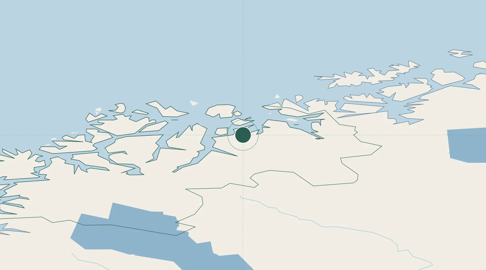
Nearby Logistics Neighbours

Cities
  1. 1Uløybukt11 km
  2. 2Djupvik18 km
  3. 3Skjervøy26 km
  4. 4Olderdalen27 km
  5. 5Arnøyhamn30 km
Nearest neighbours — logibook spatial index (haversine) over the source coordinates
Ports
  1. 1Oksfjord72 km
  2. 2Tromso78 km
  3. 3Olavsvern80 km
  4. 4Alta90 km
  5. 5Sorvaer100 km
Nearest neighbours — logibook spatial index (haversine) over the source coordinates
Airports
  1. 1Sørkjosen Airport2 km
  2. 2Tromsø Airport79 km
  3. 3Hasvik Airport89 km
  4. 4Alta Airport95 km
  5. 5Bardufoss Airport125 km
Nearest neighbours — logibook spatial index (haversine) over the source coordinates
Trade Zones
  1. 1Murmansk Special Economic Zone484 km
  2. 2Oulu Port Free Warehouse Area567 km
  3. 3Free Zone of Lappeenranta1027 km
  4. 4Turku Free Zone1042 km
  5. 5Port of Hamina-Kotka1074 km
Nearest neighbours — logibook spatial index (haversine) over the source coordinates
DatabookThe Record of Consolidated Knowledge
Norway beyond logistics?
Browse databook

All Sources

LocationsUN/LOCODE
UN/LOCODE — free
Portsthe NGA World Port Index
Public domain (US gov)
AirportsOurAirports
Public domain
Trade Zonesthe World Bank SEZ database
CC BY 4.0
Trade ZonesOpen Zone Map
CC BY
← Norway locations