UN/LOCODE hub · Norway
NOSKY

Skjervøy

70.0333°, 20.9667°
1
Transport functions

Transport Functions

Port
UN/LOCODE

Hub Profile

Region
19
GeoNames

Location

Location of NOSKY
Natural Earth 10m (public domain) · 19 · NOSKY · 70.03, 20.97GoogleOSMYandex

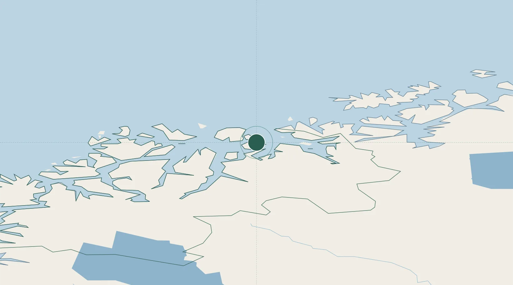
Nearby Logistics Neighbours

Cities
  1. 1Arnøyhamn13 km
  2. 2Uløybukt23 km
  3. 3Reinfjord25 km
  4. 4Sørkjosen26 km
  5. 5Nordlenangen33 km
Nearest neighbours — logibook spatial index (haversine) over the source coordinates
Ports
  1. 1Oksfjord57 km
  2. 2Sorvaer76 km
  3. 3Alta87 km
  4. 4Tromso88 km
  5. 5Olavsvern94 km
Nearest neighbours — logibook spatial index (haversine) over the source coordinates
Airports
  1. 1Sørkjosen Airport27 km
  2. 2Hasvik Airport67 km
  3. 3Tromsø Airport88 km
  4. 4Alta Airport92 km
  5. 5Hammerfest Airport124 km
Nearest neighbours — logibook spatial index (haversine) over the source coordinates
Trade Zones
  1. 1Murmansk Special Economic Zone486 km
  2. 2Oulu Port Free Warehouse Area591 km
  3. 3Free Zone of Lappeenranta1051 km
  4. 4Turku Free Zone1068 km
  5. 5Port of Hamina-Kotka1098 km
Nearest neighbours — logibook spatial index (haversine) over the source coordinates
DatabookThe Record of Consolidated Knowledge
Norway beyond logistics?
Browse databook

All Sources

LocationsUN/LOCODE
UN/LOCODE — free
Portsthe NGA World Port Index
Public domain (US gov)
AirportsOurAirports
Public domain
Trade Zonesthe World Bank SEZ database
CC BY 4.0
Trade ZonesOpen Zone Map
CC BY
← Norway locations