UN/LOCODE hub · Norway
NOARM

Arnøyhamn

70.0500°, 20.6333°
1
Transport functions

Transport Functions

Port
UN/LOCODE

Hub Profile

Region
19
GeoNames

Location

Location of NOARM
Natural Earth 10m (public domain) · 19 · NOARM · 70.05, 20.63GoogleOSMYandex

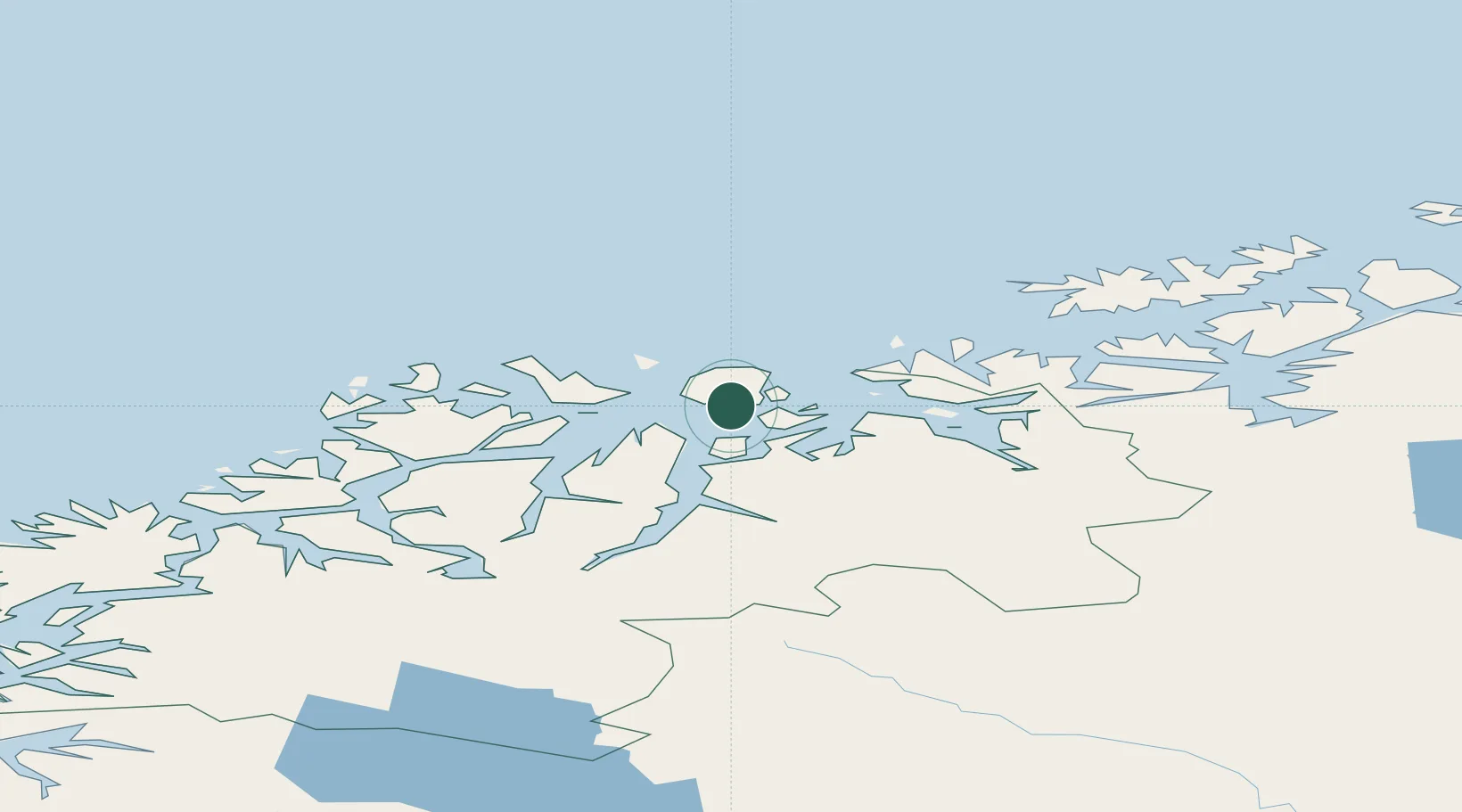
Nearby Logistics Neighbours

Cities
  1. 1Skjervøy13 km
  2. 2Uløybukt22 km
  3. 3Nordlenangen23 km
  4. 4Kristoffervalen26 km
  5. 5Vannavalen26 km
Nearest neighbours — logibook spatial index (haversine) over the source coordinates
Ports
  1. 1Oksfjord68 km
  2. 2Tromso78 km
  3. 3Sorvaer81 km
  4. 4Olavsvern85 km
  5. 5Alta99 km
Nearest neighbours — logibook spatial index (haversine) over the source coordinates
Airports
  1. 1Sørkjosen Airport32 km
  2. 2Hasvik Airport75 km
  3. 3Tromsø Airport77 km
  4. 4Alta Airport104 km
  5. 5Hammerfest Airport133 km
Nearest neighbours — logibook spatial index (haversine) over the source coordinates
Trade Zones
  1. 1Murmansk Special Economic Zone499 km
  2. 2Oulu Port Free Warehouse Area597 km
  3. 3Free Zone of Lappeenranta1057 km
  4. 4Turku Free Zone1071 km
  5. 5Port of Hamina-Kotka1104 km
Nearest neighbours — logibook spatial index (haversine) over the source coordinates
DatabookThe Record of Consolidated Knowledge
Norway beyond logistics?
Browse databook

All Sources

LocationsUN/LOCODE
UN/LOCODE — free
Portsthe NGA World Port Index
Public domain (US gov)
AirportsOurAirports
Public domain
Trade Zonesthe World Bank SEZ database
CC BY 4.0
Trade ZonesOpen Zone Map
CC BY
← Norway locations