Transport Functions
Port
Road
Hub Profile
Region
20
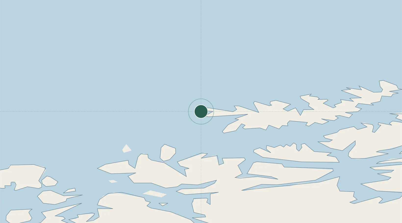
Location
Nearby Logistics Neighbours
Cities
- 1Breivikbotn12 km
- 2Hasvik20 km
- 3Bergsfjord43 km
- 4Hummelvik43 km
- 5Kårhamn44 km
Ports
- 1Oksfjord47 km
- 2Hammerfest62 km
- 3Kvalsund75 km
- 4Alta87 km
- 5Honningsvag150 km
Airports
- 1Hasvik Airport17 km
- 2Hammerfest Airport62 km
- 3Alta Airport90 km
- 4Sørkjosen Airport102 km
- 5Lakselv Airport, Banak128 km
Trade Zones
- 1Murmansk Special Economic Zone464 km
- 2Oulu Port Free Warehouse Area643 km
- 3Free Zone of Lappeenranta1101 km
- 4Turku Free Zone1133 km
- 5Port of Hamina-Kotka1152 km
DatabookThe Record of Consolidated Knowledge
Norway beyond logistics?