Transport Functions
Port
Hub Profile
Place type
Populated place
Region
Finnmark
Population
380
Time zone
Europe/Oslo
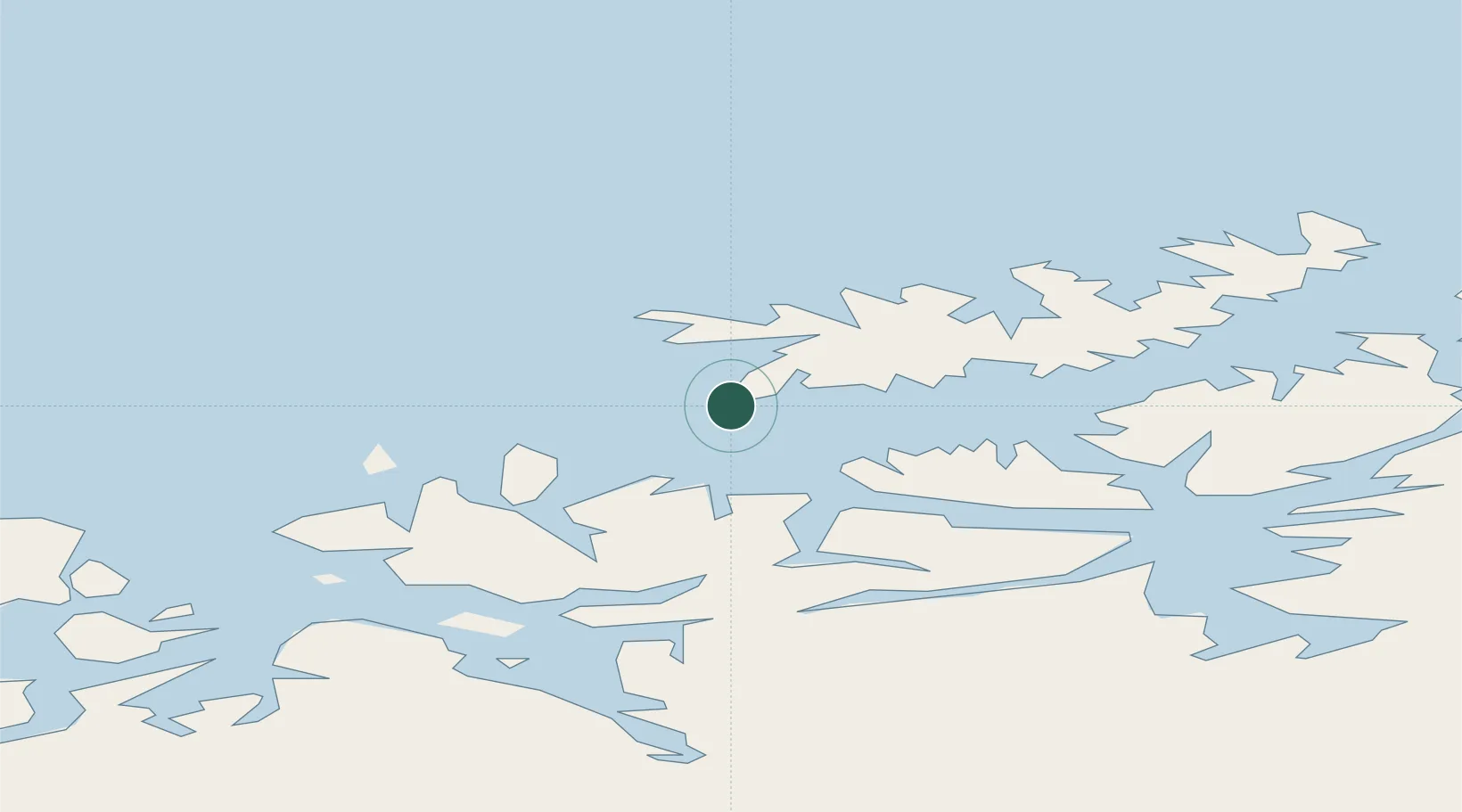
Location
Nearby Logistics Neighbours
Cities
- 1Breivikbotn14 km
- 2Sørvær20 km
- 3Øksfjord27 km
- 4Bergsfjord28 km
- 5Hummelvik28 km
Ports
- 1Sorvaer19 km
- 2Oksfjord27 km
- 3Hammerfest60 km
- 4Kvalsund68 km
- 5Alta68 km
Airports
- 1Hasvik Airport2 km
- 2Hammerfest Airport61 km
- 3Alta Airport71 km
- 4Sørkjosen Airport88 km
- 5Lakselv Airport, Banak115 km
Trade Zones
- 1Murmansk Special Economic Zone453 km
- 2Oulu Port Free Warehouse Area623 km
- 3Free Zone of Lappeenranta1082 km
- 4Turku Free Zone1114 km
- 5Port of Hamina-Kotka1133 km
DatabookThe Record of Consolidated Knowledge
Norway beyond logistics?