Transport Functions
Port
Hub Profile
Place type
Populated place
Region
Finnmark
Time zone
Europe/Oslo
Elevation
20 m
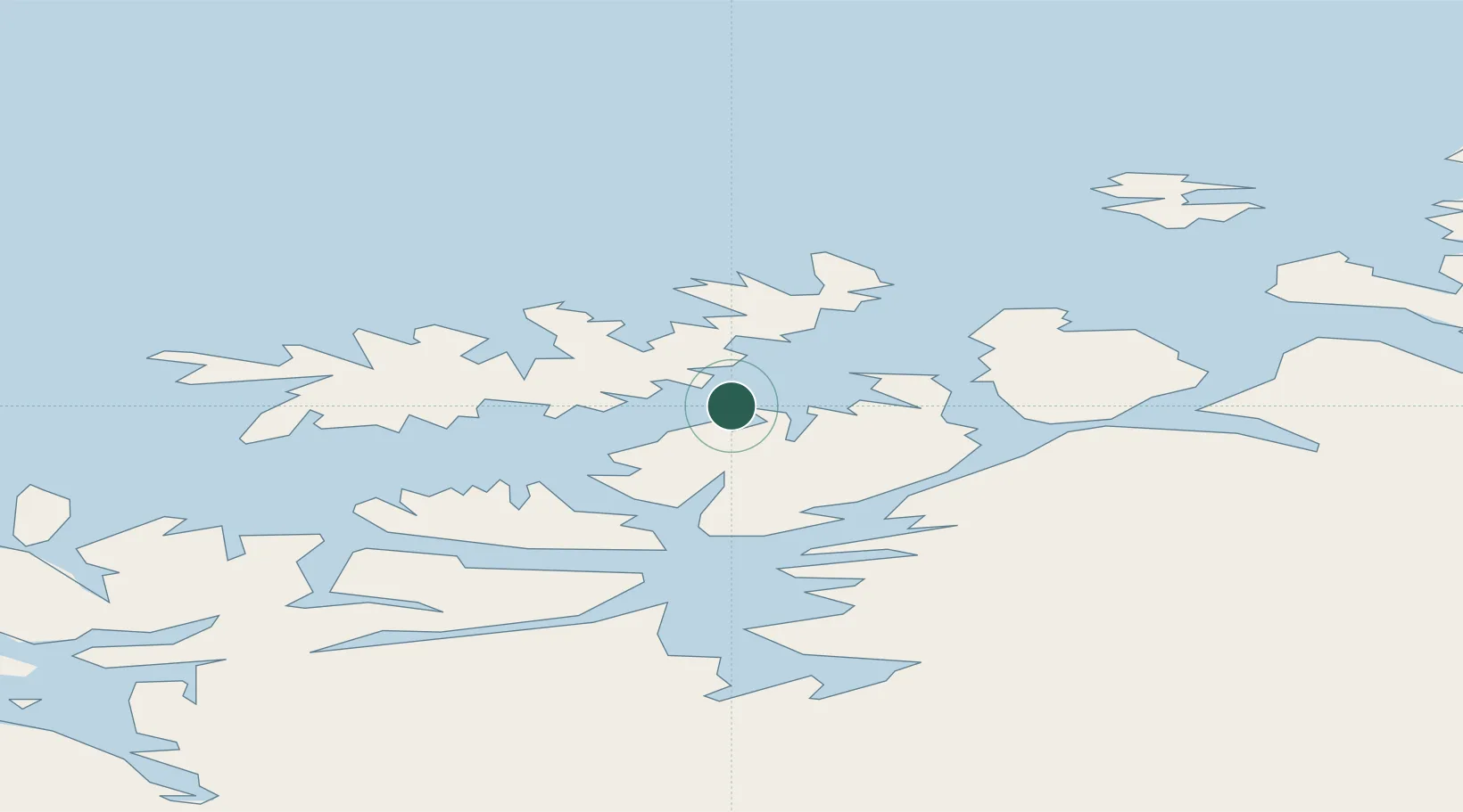
Location
Nearby Logistics Neighbours
Cities
- 1Rypefjord21 km
- 2Hammerfest22 km
- 3Melkøya22 km
- 4Akkarfjord28 km
- 5Kvalsund31 km
Ports
- 1Hammerfest23 km
- 2Kvalsund31 km
- 3Sorvaer45 km
- 4Oksfjord46 km
- 5Alta64 km
Airports
- 1Hammerfest Airport24 km
- 2Hasvik Airport38 km
- 3Alta Airport64 km
- 4Lakselv Airport, Banak87 km
- 5Honningsvåg Airport, Valan116 km
Trade Zones
- 1Murmansk Special Economic Zone421 km
- 2Oulu Port Free Warehouse Area625 km
- 3Free Zone of Lappeenranta1080 km
- 4Turku Free Zone1125 km
- 5Port of Hamina-Kotka1134 km
DatabookThe Record of Consolidated Knowledge
Norway beyond logistics?