Transport Functions
Port
Road
Hub Profile
Place type
Provincial seat
Region
Finnmark
Time zone
Europe/Oslo
Elevation
40 m
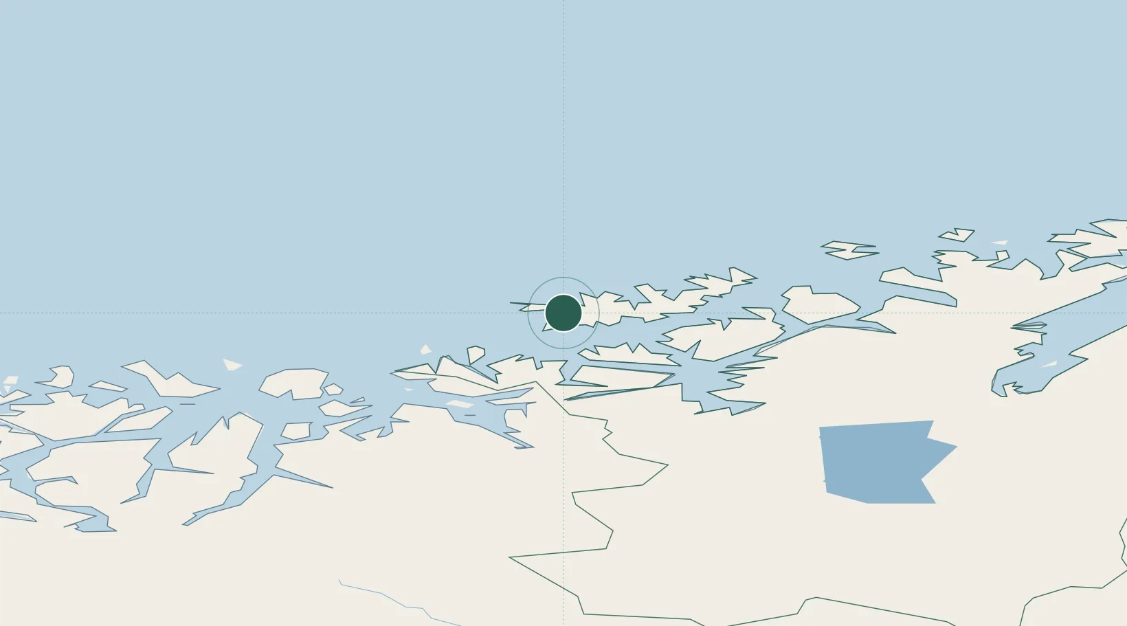
Location
Nearby Logistics Neighbours
Ports
- 1Sorvaer13 km
- 2Oksfjord39 km
- 3Hammerfest52 km
- 4Kvalsund64 km
- 5Alta77 km
Airports
- 1Hasvik Airport12 km
- 2Hammerfest Airport52 km
- 3Alta Airport79 km
- 4Sørkjosen Airport102 km
- 5Lakselv Airport, Banak116 km
Trade Zones
- 1Murmansk Special Economic Zone452 km
- 2Oulu Port Free Warehouse Area635 km
- 3Free Zone of Lappeenranta1093 km
- 4Turku Free Zone1127 km
- 5Port of Hamina-Kotka1144 km
DatabookThe Record of Consolidated Knowledge
Norway beyond logistics?