UN/LOCODE hub · Norway
NOKON

Kollsnes

60.5667°, 4.8167°
1
Transport functions

Transport Functions

Port
UN/LOCODE

Hub Profile

Region
12
GeoNames

Location

Location of NOKON
Natural Earth 10m (public domain) · 12 · NOKON · 60.57, 4.82GoogleOSMYandex

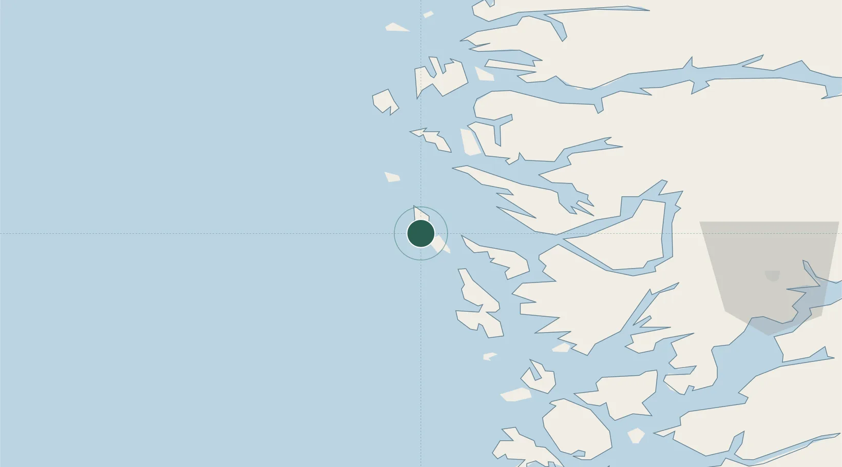
Nearby Logistics Neighbours

Cities
  1. 1Blomvåg5 km
  2. 2Stura6 km
  3. 3Mjølkevikvarden9 km
  4. 4Manger13 km
  5. 5Bøvågen - Radøy16 km
Nearest neighbours — logibook spatial index (haversine) over the source coordinates
Ports
  1. 1Stura7 km
  2. 2Brattholmen31 km
  3. 3Mongstad32 km
  4. 4Bergen32 km
  5. 5Haakonsvern35 km
Nearest neighbours — logibook spatial index (haversine) over the source coordinates
Airports
  1. 1Bergen Airport, Flesland38 km
  2. 2Stord Airport, Sørstokken91 km
  3. 3Førde Airport, Bringeland105 km
  4. 4Florø Airport114 km
  5. 5Haugesund Airport, Karmøy138 km
Nearest neighbours — logibook spatial index (haversine) over the source coordinates
Trade Zones
  1. 1Gothenburg Boundless Customs Warehouse510 km
  2. 2Freeport of Copenhagen- Nordhavn706 km
  3. 3North Eastern Enterprise Zone730 km
  4. 4MTS Malmö Transport and Spedition735 km
  5. 5Tees Valley Enterprise Zone753 km
Nearest neighbours — logibook spatial index (haversine) over the source coordinates
DatabookThe Record of Consolidated Knowledge
Norway beyond logistics?
Browse databook

All Sources

LocationsUN/LOCODE
UN/LOCODE — free
Portsthe NGA World Port Index
Public domain (US gov)
AirportsOurAirports
Public domain
Trade Zonesthe World Bank SEZ database
CC BY 4.0
Trade ZonesOpen Zone Map
CC BY
← Norway locations