Transport Functions
Port
Hub Profile
Place type
Populated place
Region
Vestland
Time zone
Europe/Oslo
Elevation
20 m
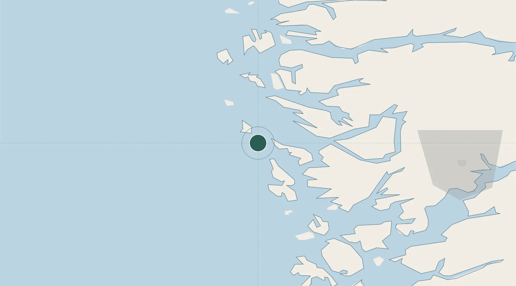
Location
Nearby Logistics Neighbours
Cities
- 1Kollsnes5 km
- 2Mjølkevikvarden6 km
- 3Stura9 km
- 4Manger13 km
- 5Hanøytangen16 km
Ports
- 1Stura10 km
- 2Brattholmen26 km
- 3Bergen27 km
- 4Haakonsvern30 km
- 5Mongstad34 km
Airports
- 1Bergen Airport, Flesland32 km
- 2Stord Airport, Sørstokken86 km
- 3Førde Airport, Bringeland106 km
- 4Florø Airport117 km
- 5Haugesund Airport, Karmøy133 km
Trade Zones
DatabookThe Record of Consolidated Knowledge
Norway beyond logistics?