UN/LOCODE hub · Norway
NONSF

Nordskaget - Frøya

63.7167°, 8.5667°
1
Transport functions

Transport Functions

Port
UN/LOCODE

Hub Profile

Region
16
GeoNames

Location

Location of NONSF
Natural Earth 10m (public domain) · 16 · NONSF · 63.72, 8.57GoogleOSMYandex

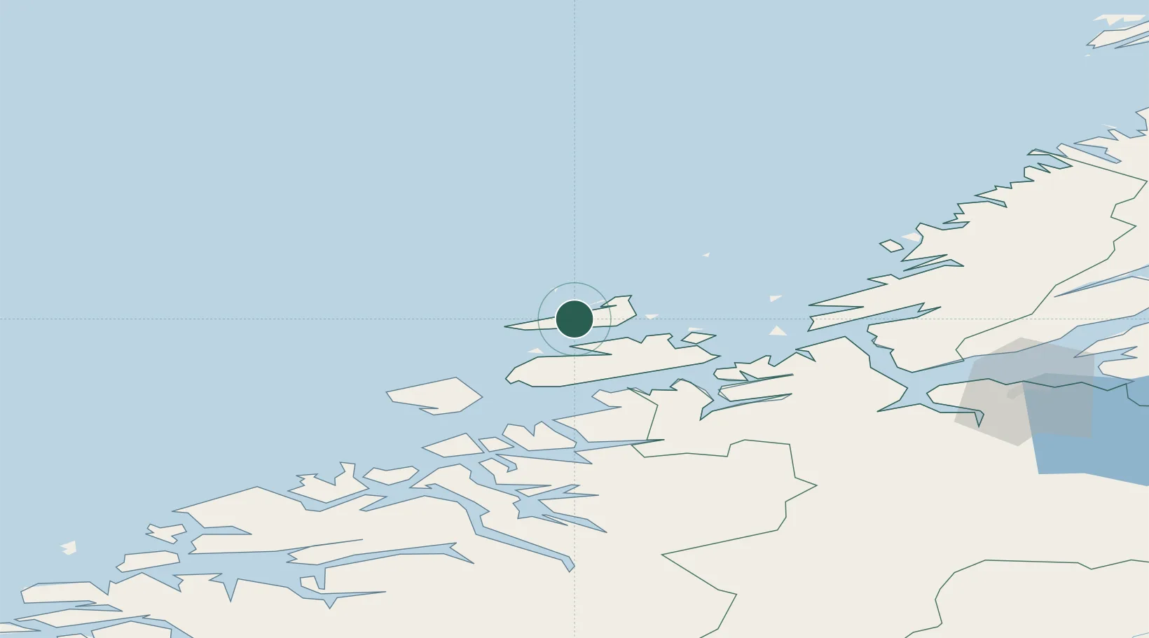
Nearby Logistics Neighbours

Cities
  1. 1Stranda - Frøya11 km
  2. 2Hammarvika - Frøya12 km
  3. 3Dolmøy13 km
  4. 4Sistranda13 km
  5. 5Siholmen13 km
Nearest neighbours — logibook spatial index (haversine) over the source coordinates
Ports
  1. 1Kristiansund79 km
  2. 2Trondheim96 km
  3. 3Sunndalsora115 km
  4. 4Hommelvik116 km
  5. 5Langstein116 km
Nearest neighbours — logibook spatial index (haversine) over the source coordinates
Airports
  1. 1Ørland Airport51 km
  2. 2Kristiansund Airport, Kvernberget77 km
  3. 3Trondheim Airport, Værnes120 km
  4. 4Molde Airport, Årø126 km
  5. 5Namsos Airport169 km
Nearest neighbours — logibook spatial index (haversine) over the source coordinates
Trade Zones
  1. 1Gothenburg Boundless Customs Warehouse691 km
  2. 2Stockholm Free Zone700 km
  3. 3Jönköping Free Zone726 km
  4. 4Freeport of Copenhagen- Nordhavn918 km
  5. 5MTS Malmö Transport and Spedition937 km
Nearest neighbours — logibook spatial index (haversine) over the source coordinates
DatabookThe Record of Consolidated Knowledge
Norway beyond logistics?
Browse databook

All Sources

LocationsUN/LOCODE
UN/LOCODE — free
Portsthe NGA World Port Index
Public domain (US gov)
AirportsOurAirports
Public domain
Trade Zonesthe World Bank SEZ database
CC BY 4.0
Trade ZonesOpen Zone Map
CC BY
← Norway locations