UN/LOCODE hub · Norway
NORFJ

Reinfjord

70.1000°, 21.6000°
1
Transport functions

Transport Functions

Port
UN/LOCODE

Hub Profile

Region
19
GeoNames

Location

Location of NORFJ
Natural Earth 10m (public domain) · 19 · NORFJ · 70.10, 21.60GoogleOSMYandex

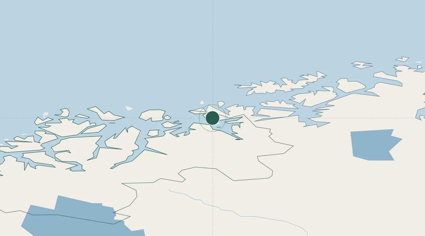
Nearby Logistics Neighbours

Cities
  1. 1Bergsfjord18 km
  2. 2Hummelvik18 km
  3. 3Skjervøy25 km
  4. 4Burfjord25 km
  5. 5Øksfjord31 km
Nearest neighbours — logibook spatial index (haversine) over the source coordinates
Ports
  1. 1Oksfjord32 km
  2. 2Sorvaer60 km
  3. 3Alta64 km
  4. 4Hammerfest100 km
  5. 5Kvalsund100 km
Nearest neighbours — logibook spatial index (haversine) over the source coordinates
Airports
  1. 1Sørkjosen Airport43 km
  2. 2Hasvik Airport48 km
  3. 3Alta Airport69 km
  4. 4Hammerfest Airport101 km
  5. 5Tromsø Airport113 km
Nearest neighbours — logibook spatial index (haversine) over the source coordinates
Trade Zones
  1. 1Murmansk Special Economic Zone463 km
  2. 2Oulu Port Free Warehouse Area590 km
  3. 3Free Zone of Lappeenranta1050 km
  4. 4Turku Free Zone1074 km
  5. 5Port of Hamina-Kotka1098 km
Nearest neighbours — logibook spatial index (haversine) over the source coordinates
DatabookThe Record of Consolidated Knowledge
Norway beyond logistics?
Browse databook

All Sources

LocationsUN/LOCODE
UN/LOCODE — free
Portsthe NGA World Port Index
Public domain (US gov)
AirportsOurAirports
Public domain
Trade Zonesthe World Bank SEZ database
CC BY 4.0
Trade ZonesOpen Zone Map
CC BY
← Norway locations