UN/LOCODE hub · Norway
NOLSU

Lysøysund

63.8833°, 9.8667°
1
Transport functions

Transport Functions

Port
UN/LOCODE

Hub Profile

Region
16
GeoNames

Location

Location of NOLSU
Natural Earth 10m (public domain) · 16 · NOLSU · 63.88, 9.87GoogleOSMYandex

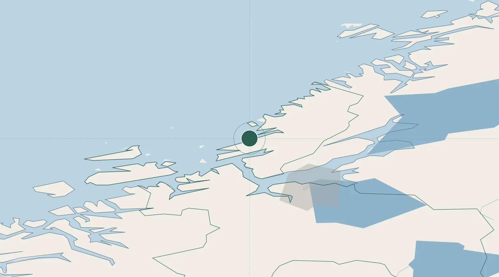
Nearby Logistics Neighbours

Cities
  1. 1Vallersund7 km
  2. 2Valsneset14 km
  3. 3Herfjord15 km
  4. 4Bjugn16 km
  5. 5Nordfosen17 km
Nearest neighbours — logibook spatial index (haversine) over the source coordinates
Ports
  1. 1Trondheim55 km
  2. 2Langstein63 km
  3. 3Fiborgtangen66 km
  4. 4Muruvik69 km
  5. 5Hommelvik69 km
Nearest neighbours — logibook spatial index (haversine) over the source coordinates
Airports
  1. 1Ørland Airport24 km
  2. 2Trondheim Airport, Værnes70 km
  3. 3Namsos Airport106 km
  4. 4Rørvik Airport, Ryum123 km
  5. 5Kristiansund Airport, Kvernberget133 km
Nearest neighbours — logibook spatial index (haversine) over the source coordinates
Trade Zones
  1. 1Stockholm Free Zone666 km
  2. 2Gothenburg Boundless Customs Warehouse695 km
  3. 3Jönköping Free Zone717 km
  4. 4Freeport of Copenhagen- Nordhavn921 km
  5. 5MTS Malmö Transport and Spedition938 km
Nearest neighbours — logibook spatial index (haversine) over the source coordinates
DatabookThe Record of Consolidated Knowledge
Norway beyond logistics?
Browse databook

All Sources

LocationsUN/LOCODE
UN/LOCODE — free
Portsthe NGA World Port Index
Public domain (US gov)
AirportsOurAirports
Public domain
Trade Zonesthe World Bank SEZ database
CC BY 4.0
Trade ZonesOpen Zone Map
CC BY
← Norway locations