UN/LOCODE hub · Norway
NOSEV

Selva

63.6167°, 9.7333°
1
Transport functions

Transport Functions

Port
UN/LOCODE

Hub Profile

Place type
Populated place
GeoNames
Region
Trøndelag
GeoNames
Time zone
Europe/Oslo
GeoNames
Elevation
80 m
GeoNames

Location

Location of NOSEV
Natural Earth 10m (public domain) · Trøndelag · NOSEV · 63.62, 9.73GoogleOSMYandex

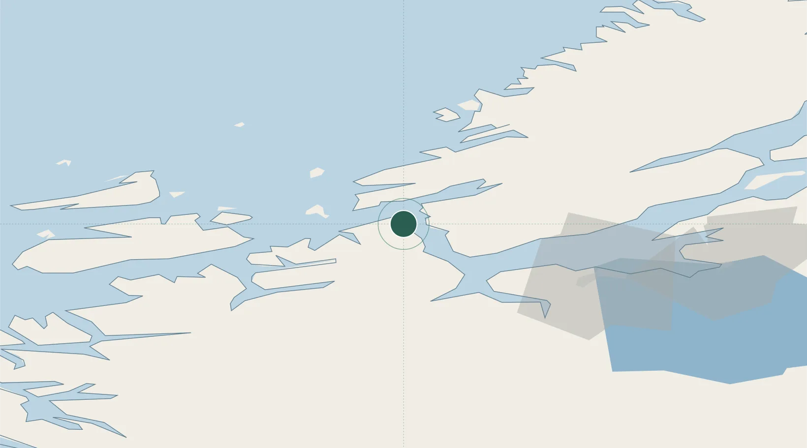
Nearby Logistics Neighbours

Cities
  1. 1Brekstad8 km
  2. 2Kvithylla10 km
  3. 3Rissa12 km
  4. 4Uthaug13 km
  5. 5Stavneset - Rissa14 km
Nearest neighbours — logibook spatial index (haversine) over the source coordinates
Ports
  1. 1Trondheim38 km
  2. 2Hommelvik57 km
  3. 3Langstein58 km
  4. 4Muruvik58 km
  5. 5Fiborgtangen71 km
Nearest neighbours — logibook spatial index (haversine) over the source coordinates
Airports
  1. 1Ørland Airport11 km
  2. 2Trondheim Airport, Værnes62 km
  3. 3Kristiansund Airport, Kvernberget111 km
  4. 4Namsos Airport131 km
  5. 5Røros Airport141 km
Nearest neighbours — logibook spatial index (haversine) over the source coordinates
Trade Zones
  1. 1Stockholm Free Zone650 km
  2. 2Gothenburg Boundless Customs Warehouse667 km
  3. 3Jönköping Free Zone692 km
  4. 4Freeport of Copenhagen- Nordhavn893 km
  5. 5MTS Malmö Transport and Spedition910 km
Nearest neighbours — logibook spatial index (haversine) over the source coordinates
DatabookThe Record of Consolidated Knowledge
Norway beyond logistics?
Browse databook

All Sources

LocationsUN/LOCODE
UN/LOCODE — free
Portsthe NGA World Port Index
Public domain (US gov)
AirportsOurAirports
Public domain
Trade Zonesthe World Bank SEZ database
CC BY 4.0
Trade ZonesOpen Zone Map
CC BY
← Norway locations