Transport Functions
Port
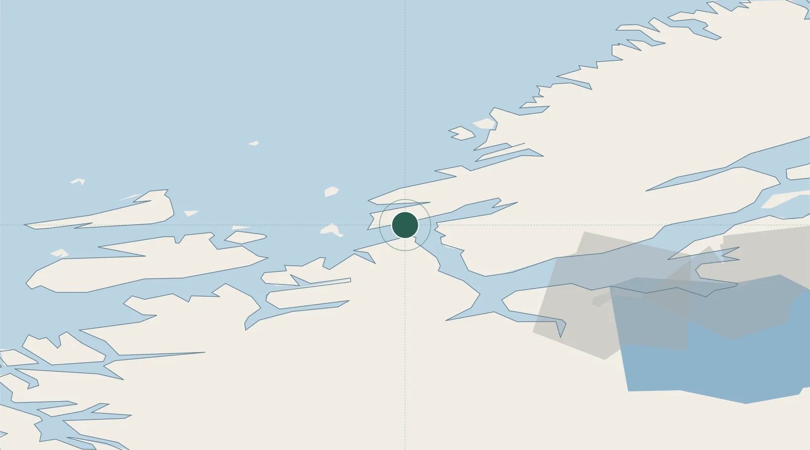
Hub Profile
Place type
Populated place
Region
Trøndelag
Population
1,835
Time zone
Europe/Oslo
Elevation
1 m
Location
Nearby Logistics Neighbours
Cities
- 1Uthaug6 km
- 2Selva8 km
- 3Bjugn8 km
- 4Stavneset - Rissa13 km
- 5Valsneset15 km
Ports
- 1Trondheim44 km
- 2Langstein62 km
- 3Hommelvik63 km
- 4Muruvik63 km
- 5Fiborgtangen72 km
Airports
- 1Ørland Airport4 km
- 2Trondheim Airport, Værnes66 km
- 3Kristiansund Airport, Kvernberget112 km
- 4Namsos Airport127 km
- 5Rørvik Airport, Ryum147 km
Trade Zones
DatabookThe Record of Consolidated Knowledge
Norway beyond logistics?