UN/LOCODE hub · Norway
NOKIA

Kvithylla

63.5667°, 9.9000°
1
Transport functions

Transport Functions

Port
UN/LOCODE

Hub Profile

Place type
Populated place
GeoNames
Region
Trøndelag
GeoNames
Time zone
Europe/Oslo
GeoNames
Elevation
31 m
GeoNames

Location

Location of NOKIA
Natural Earth 10m (public domain) · Trøndelag · NOKIA · 63.57, 9.90GoogleOSMYandex

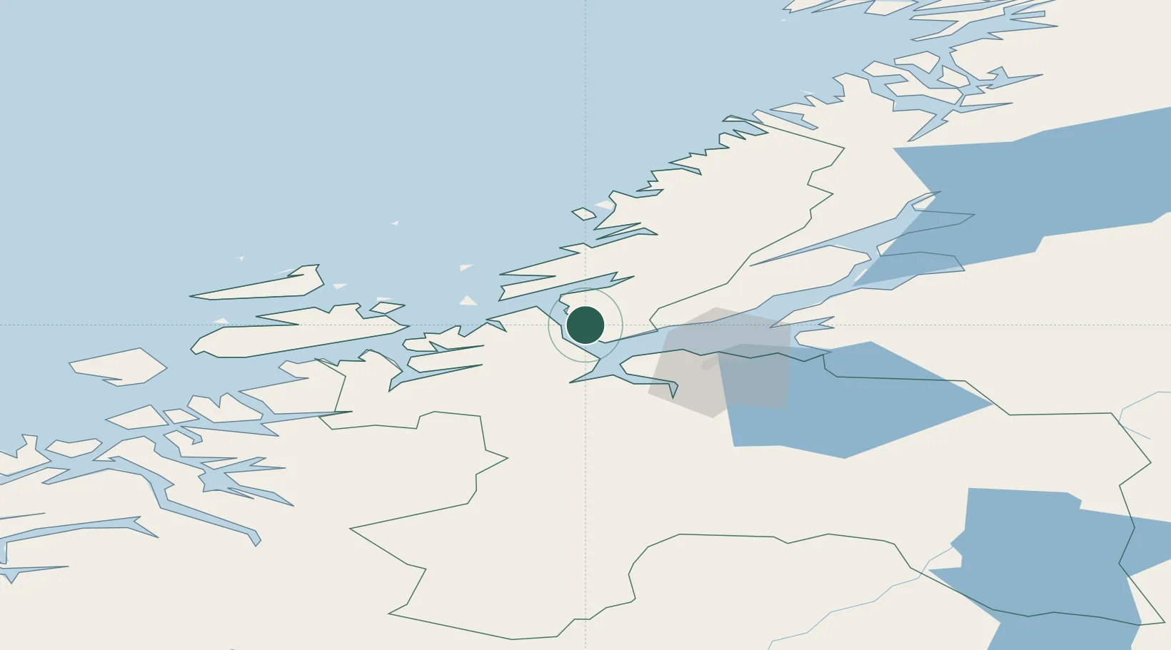
Nearby Logistics Neighbours

Cities
  1. 1Rissa4 km
  2. 2Selva10 km
  3. 3Stavneset - Rissa15 km
  4. 4Vanvikan-Leksvik17 km
  5. 5Brekstad17 km
Nearest neighbours — logibook spatial index (haversine) over the source coordinates
Ports
  1. 1Trondheim28 km
  2. 2Hommelvik48 km
  3. 3Muruvik49 km
  4. 4Langstein49 km
  5. 5Fiborgtangen64 km
Nearest neighbours — logibook spatial index (haversine) over the source coordinates
Airports
  1. 1Ørland Airport21 km
  2. 2Trondheim Airport, Værnes52 km
  3. 3Kristiansund Airport, Kvernberget115 km
  4. 4Namsos Airport130 km
  5. 5Røros Airport132 km
Nearest neighbours — logibook spatial index (haversine) over the source coordinates
Trade Zones
  1. 1Stockholm Free Zone640 km
  2. 2Gothenburg Boundless Customs Warehouse660 km
  3. 3Jönköping Free Zone684 km
  4. 4Freeport of Copenhagen- Nordhavn886 km
  5. 5MTS Malmö Transport and Spedition903 km
Nearest neighbours — logibook spatial index (haversine) over the source coordinates
DatabookThe Record of Consolidated Knowledge
Norway beyond logistics?
Browse databook

All Sources

LocationsUN/LOCODE
UN/LOCODE — free
Portsthe NGA World Port Index
Public domain (US gov)
AirportsOurAirports
Public domain
Trade Zonesthe World Bank SEZ database
CC BY 4.0
Trade ZonesOpen Zone Map
CC BY
← Norway locations