Transport Functions
Port
Road
Hub Profile
Place type
Locality
Region
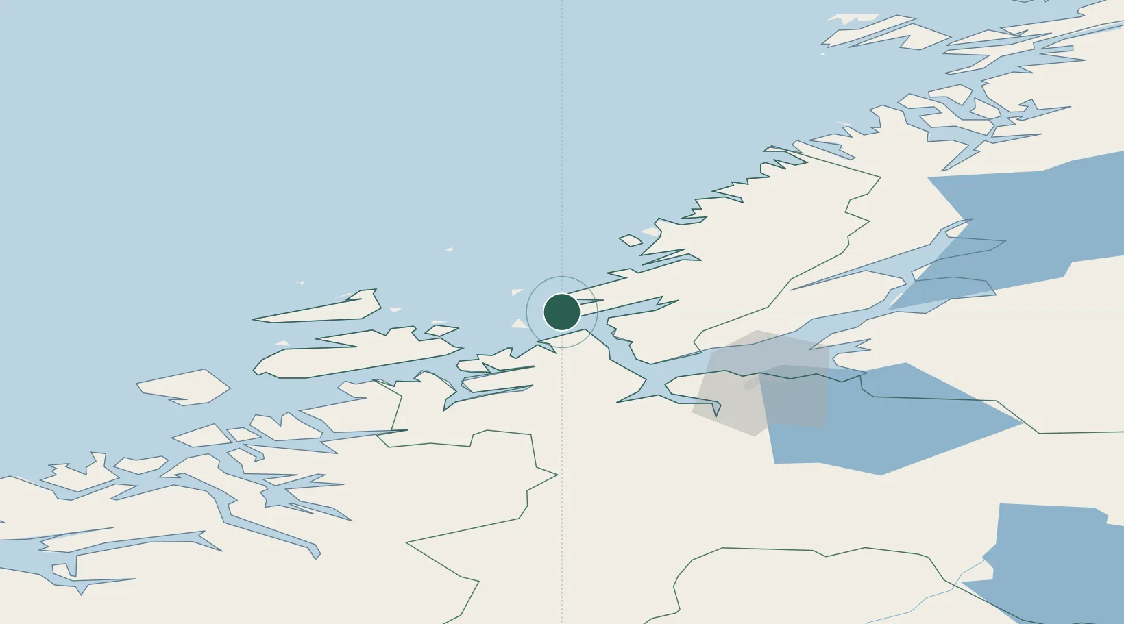
Trøndelag
Population
395
Time zone
Europe/Oslo
Elevation
1 m
Location
Nearby Logistics Neighbours
Cities
- 1Brekstad6 km
- 2Bjugn8 km
- 3Valsneset11 km
- 4Selva13 km
- 5Vallersund17 km
Ports
- 1Trondheim50 km
- 2Langstein66 km
- 3Hommelvik68 km
- 4Muruvik69 km
- 5Fiborgtangen76 km
Airports
- 1Ørland Airport2 km
- 2Trondheim Airport, Værnes72 km
- 3Kristiansund Airport, Kvernberget111 km
- 4Namsos Airport128 km
- 5Rørvik Airport, Ryum145 km
Trade Zones
DatabookThe Record of Consolidated Knowledge
Norway beyond logistics?