UN/LOCODE hub · Norway
NORSS

Rissa

63.5833°, 9.9667°
2
Transport functions

Transport Functions

Port
Road
UN/LOCODE

Hub Profile

Place type
Provincial seat
GeoNames
Region
Trøndelag
GeoNames
Time zone
Europe/Oslo
GeoNames
Elevation
33 m
GeoNames

Location

Location of NORSS
Natural Earth 10m (public domain) · Trøndelag · NORSS · 63.58, 9.97GoogleOSMYandex

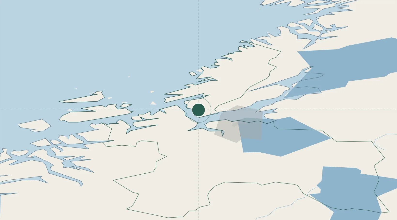
Nearby Logistics Neighbours

Cities
  1. 1Kvithylla4 km
  2. 2Selva12 km
  3. 3Stavneset - Rissa13 km
  4. 4Vanvikan-Leksvik14 km
  5. 5Brekstad18 km
Nearest neighbours — logibook spatial index (haversine) over the source coordinates
Ports
  1. 1Trondheim26 km
  2. 2Hommelvik45 km
  3. 3Langstein46 km
  4. 4Muruvik46 km
  5. 5Fiborgtangen60 km
Nearest neighbours — logibook spatial index (haversine) over the source coordinates
Airports
  1. 1Ørland Airport22 km
  2. 2Trondheim Airport, Værnes50 km
  3. 3Kristiansund Airport, Kvernberget119 km
  4. 4Namsos Airport126 km
  5. 5Røros Airport132 km
Nearest neighbours — logibook spatial index (haversine) over the source coordinates
Trade Zones
  1. 1Stockholm Free Zone639 km
  2. 2Gothenburg Boundless Customs Warehouse661 km
  3. 3Jönköping Free Zone684 km
  4. 4Freeport of Copenhagen- Nordhavn887 km
  5. 5MTS Malmö Transport and Spedition904 km
Nearest neighbours — logibook spatial index (haversine) over the source coordinates
DatabookThe Record of Consolidated Knowledge
Norway beyond logistics?
Browse databook

All Sources

LocationsUN/LOCODE
UN/LOCODE — free
Portsthe NGA World Port Index
Public domain (US gov)
AirportsOurAirports
Public domain
Trade Zonesthe World Bank SEZ database
CC BY 4.0
Trade ZonesOpen Zone Map
CC BY
← Norway locations