UN/LOCODE hub · Norway
NOSNF

Snefjord

70.8000°, 24.5667°
1
Transport functions

Transport Functions

Port
UN/LOCODE

Hub Profile

Region
20
GeoNames

Location

Location of NOSNF
Natural Earth 10m (public domain) · 20 · NOSNF · 70.80, 24.57GoogleOSMYandex

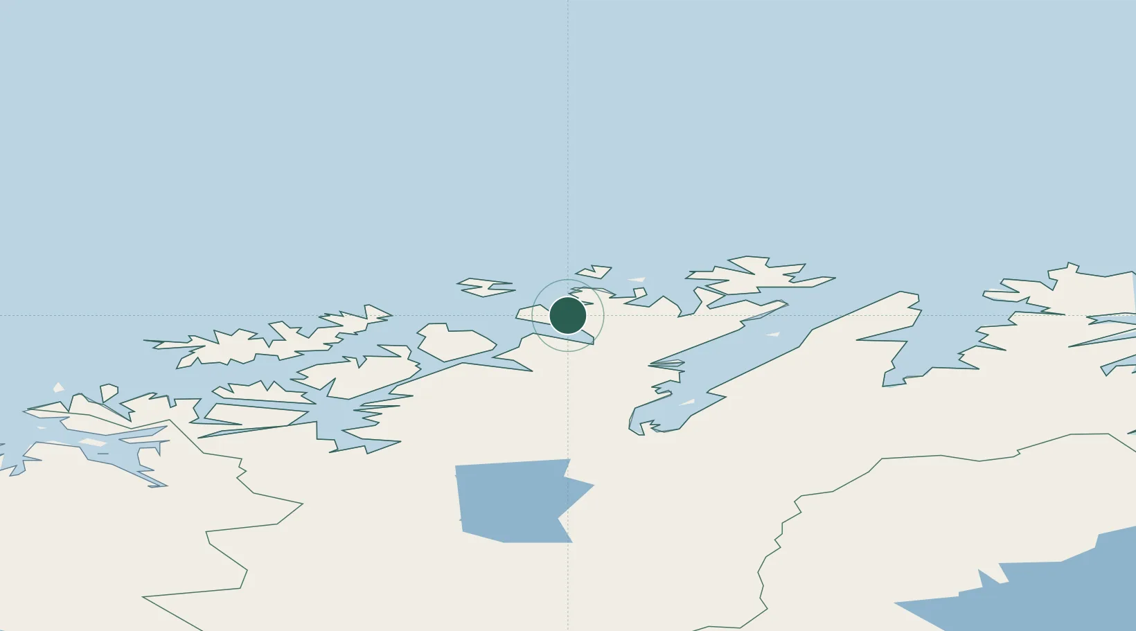
Nearby Logistics Neighbours

Cities
  1. 1Havøysund23 km
  2. 2Forsøl29 km
  3. 3Tufjorden33 km
  4. 4Ingøy36 km
  5. 5Hammerfest37 km
Nearest neighbours — logibook spatial index (haversine) over the source coordinates
Ports
  1. 1Hammerfest36 km
  2. 2Kvalsund39 km
  3. 3Honningsvag54 km
  4. 4Sorvaer98 km
  5. 5Kjollefjorden102 km
Nearest neighbours — logibook spatial index (haversine) over the source coordinates
Airports
  1. 1Hammerfest Airport36 km
  2. 2Honningsvåg Airport, Valan57 km
  3. 3Lakselv Airport, Banak83 km
  4. 4Hasvik Airport96 km
  5. 5Alta Airport102 km
Nearest neighbours — logibook spatial index (haversine) over the source coordinates
Trade Zones
  1. 1Murmansk Special Economic Zone384 km
  2. 2Oulu Port Free Warehouse Area646 km
  3. 3Free Zone of Lappeenranta1097 km
  4. 4Port of Hamina-Kotka1154 km
  5. 5Turku Free Zone1156 km
Nearest neighbours — logibook spatial index (haversine) over the source coordinates
DatabookThe Record of Consolidated Knowledge
Norway beyond logistics?
Browse databook

All Sources

LocationsUN/LOCODE
UN/LOCODE — free
Portsthe NGA World Port Index
Public domain (US gov)
AirportsOurAirports
Public domain
Trade Zonesthe World Bank SEZ database
CC BY 4.0
Trade ZonesOpen Zone Map
CC BY
← Norway locations