Transport Functions
Port
Road
Hub Profile
Place type
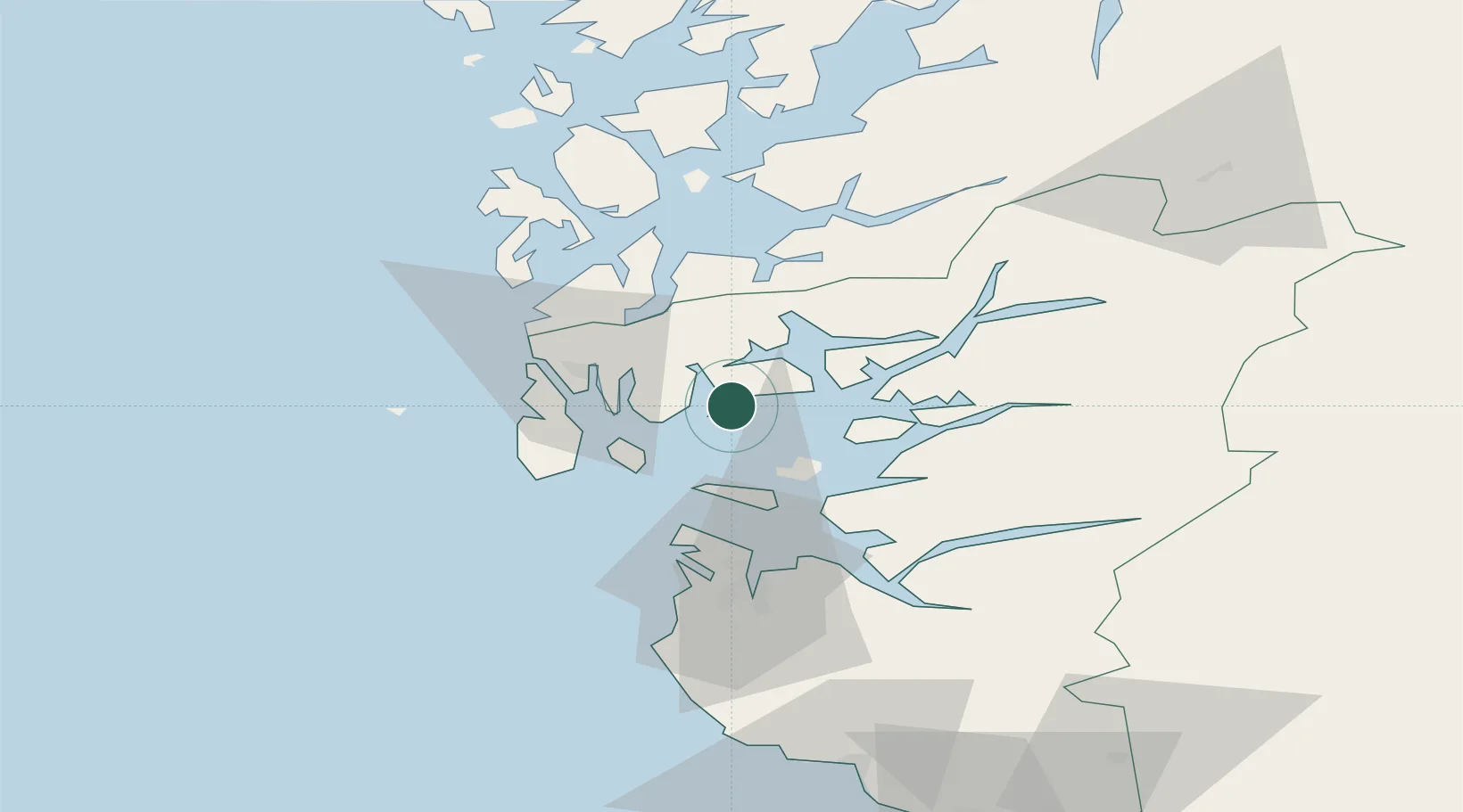
Populated place
Region
Rogaland
Time zone
Europe/Oslo
Elevation
35 m
Location
Nearby Logistics Neighbours
Cities
- 1Kårstø10 km
- 2Susort12 km
- 3Raunes - Vindafjord14 km
- 4Gismarvik16 km
- 5Bokn17 km
Ports
- 1Karsto10 km
- 2Kopervik20 km
- 3Haugesund26 km
- 4Akrahamn28 km
- 5Skudeneshavn30 km
Airports
- 1Haugesund Airport, Karmøy26 km
- 2Stavanger Airport, Sola49 km
- 3Stord Airport, Sørstokken56 km
- 4Bergen Airport, Flesland112 km
- 5Kristiansand Airport186 km
Trade Zones
DatabookThe Record of Consolidated Knowledge
Norway beyond logistics?