Transport Functions
Port
Road
Airport
Hub Profile
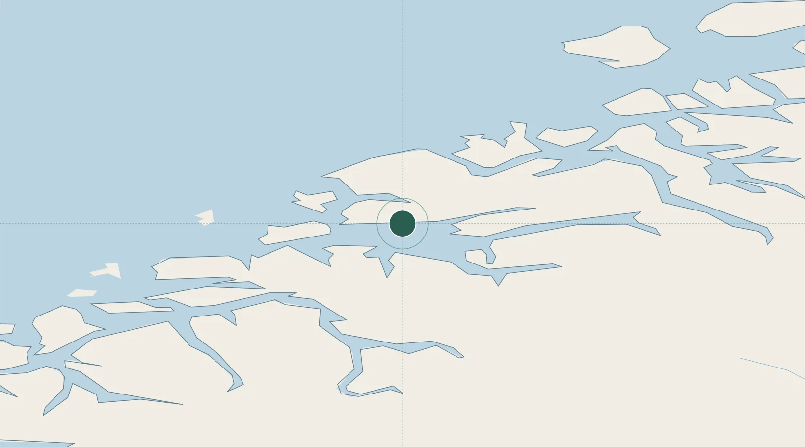
Place type
Regional capital
Region
Møre og Romsdal
Population
22,410
Time zone
Europe/Oslo
Elevation
3 m
Logistics facilities
1
Location
Nearby Logistics Neighbours
Cities
- 1Elnesvågen13 km
- 2Vestnes13 km
- 3Hjelset16 km
- 4Aukra17 km
- 5Nyhamna17 km
Ports
- 1Haroysund21 km
- 2Andalsnes31 km
- 3Kristiansund51 km
- 4Alesund60 km
- 5Sunndalsora70 km
Airports
- 1Molde Airport, Årø4 km
- 2Kristiansund Airport, Kvernberget53 km
- 3Ålesund Airport58 km
- 4Ørsta-Volda Airport, Hovden84 km
- 5Sandane Airport, Anda115 km
Trade Zones
- 1Gothenburg Boundless Customs Warehouse615 km
- 2Jönköping Free Zone671 km
- 3Freeport of Copenhagen- Nordhavn839 km
- 4MTS Malmö Transport and Spedition861 km
- 5Freeport of Kiel950 km
DatabookThe Record of Consolidated Knowledge
Norway beyond logistics?