Transport Functions
Port
Hub Profile
Place type
Populated place
Region
Møre og Romsdal
Population
730
Time zone
Europe/Oslo
Elevation
26 m
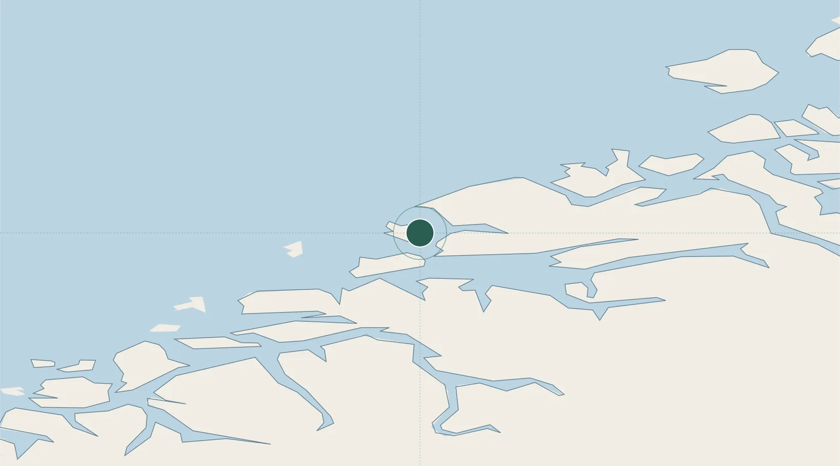
Location
Nearby Logistics Neighbours
Cities
- 1Nyhamna5 km
- 2Harøysundet8 km
- 3Elnesvågen12 km
- 4Molde17 km
- 5Midsund21 km
Ports
- 1Haroysund9 km
- 2Molde16 km
- 3Andalsnes48 km
- 4Kristiansund54 km
- 5Alesund54 km
Airports
- 1Molde Airport, Årø20 km
- 2Ålesund Airport49 km
- 3Kristiansund Airport, Kvernberget57 km
- 4Ørsta-Volda Airport, Hovden83 km
- 5Sandane Airport, Anda117 km
Trade Zones
- 1Gothenburg Boundless Customs Warehouse629 km
- 2Jönköping Free Zone687 km
- 3Freeport of Copenhagen- Nordhavn853 km
- 4MTS Malmö Transport and Spedition875 km
- 5Freeport of Kiel962 km
DatabookThe Record of Consolidated Knowledge
Norway beyond logistics?