Transport Functions
Port
Hub Profile
Region
15
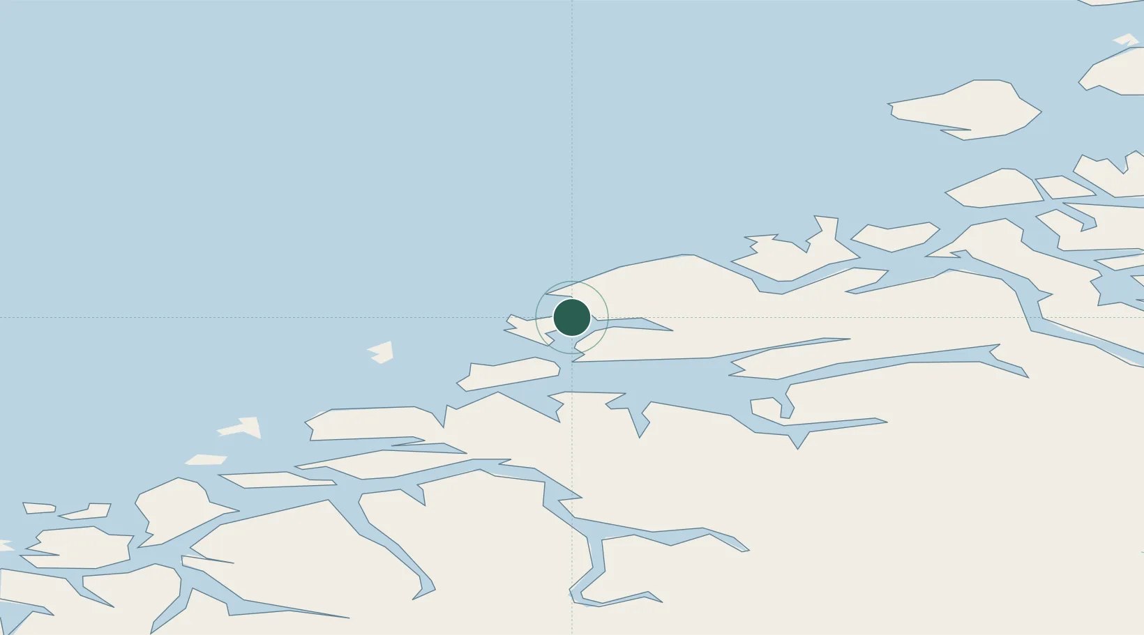
Location
Nearby Logistics Neighbours
Cities
- 1Harøysundet4 km
- 2Aukra5 km
- 3Elnesvågen9 km
- 4Molde17 km
- 5Vestnes25 km
Ports
- 1Haroysund5 km
- 2Molde17 km
- 3Andalsnes49 km
- 4Kristiansund50 km
- 5Alesund59 km
Airports
- 1Molde Airport, Årø20 km
- 2Kristiansund Airport, Kvernberget53 km
- 3Ålesund Airport54 km
- 4Ørsta-Volda Airport, Hovden87 km
- 5Sandane Airport, Anda122 km
Trade Zones
- 1Gothenburg Boundless Customs Warehouse631 km
- 2Jönköping Free Zone688 km
- 3Freeport of Copenhagen- Nordhavn855 km
- 4MTS Malmö Transport and Spedition877 km
- 5Freeport of Kiel965 km
DatabookThe Record of Consolidated Knowledge
Norway beyond logistics?