UN/LOCODE hub · Norway
NOELN

Elnesvågen

62.8500°, 7.1333°
2,362
Population
2
Transport functions

Transport Functions

Port
Road
UN/LOCODE

Hub Profile

Place type
Provincial seat
GeoNames
Region
Møre og Romsdal
GeoNames
Population
2,362
GeoNames
Time zone
Europe/Oslo
GeoNames
Elevation
30 m
GeoNames

Location

Location of NOELN
Natural Earth 10m (public domain) · Møre og Romsdal · NOELN · 62.85, 7.13GoogleOSMYandex

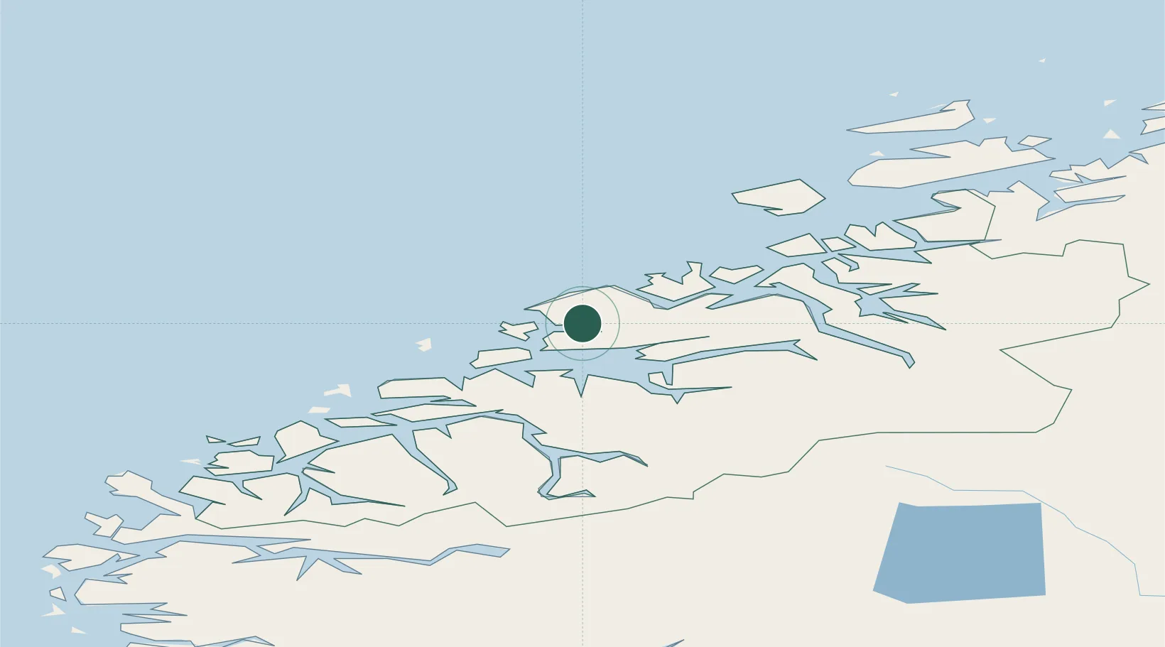
Nearby Logistics Neighbours

Cities
  1. 1Nyhamna9 km
  2. 2Harøysundet10 km
  3. 3Aukra12 km
  4. 4Molde13 km
  5. 5Eide17 km
Nearest neighbours — logibook spatial index (haversine) over the source coordinates
Ports
  1. 1Haroysund10 km
  2. 2Molde13 km
  3. 3Andalsnes42 km
  4. 4Kristiansund42 km
  5. 5Alesund65 km
Nearest neighbours — logibook spatial index (haversine) over the source coordinates
Airports
  1. 1Molde Airport, Årø13 km
  2. 2Kristiansund Airport, Kvernberget46 km
  3. 3Ålesund Airport61 km
  4. 4Ørsta-Volda Airport, Hovden92 km
  5. 5Sandane Airport, Anda125 km
Nearest neighbours — logibook spatial index (haversine) over the source coordinates
Trade Zones
  1. 1Gothenburg Boundless Customs Warehouse627 km
  2. 2Jönköping Free Zone682 km
  3. 3Freeport of Copenhagen- Nordhavn851 km
  4. 4MTS Malmö Transport and Spedition873 km
  5. 5Freeport of Kiel963 km
Nearest neighbours — logibook spatial index (haversine) over the source coordinates
DatabookThe Record of Consolidated Knowledge
Norway beyond logistics?
Browse databook

All Sources

LocationsUN/LOCODE
UN/LOCODE — free
LocationsGeoNames
CC BY 4.0
Portsthe NGA World Port Index
Public domain (US gov)
AirportsOurAirports
Public domain
Trade Zonesthe World Bank SEZ database
CC BY 4.0
Trade ZonesOpen Zone Map
CC BY
← Norway locations