Small airport · Norway
Sandane Airport, AndaENSD
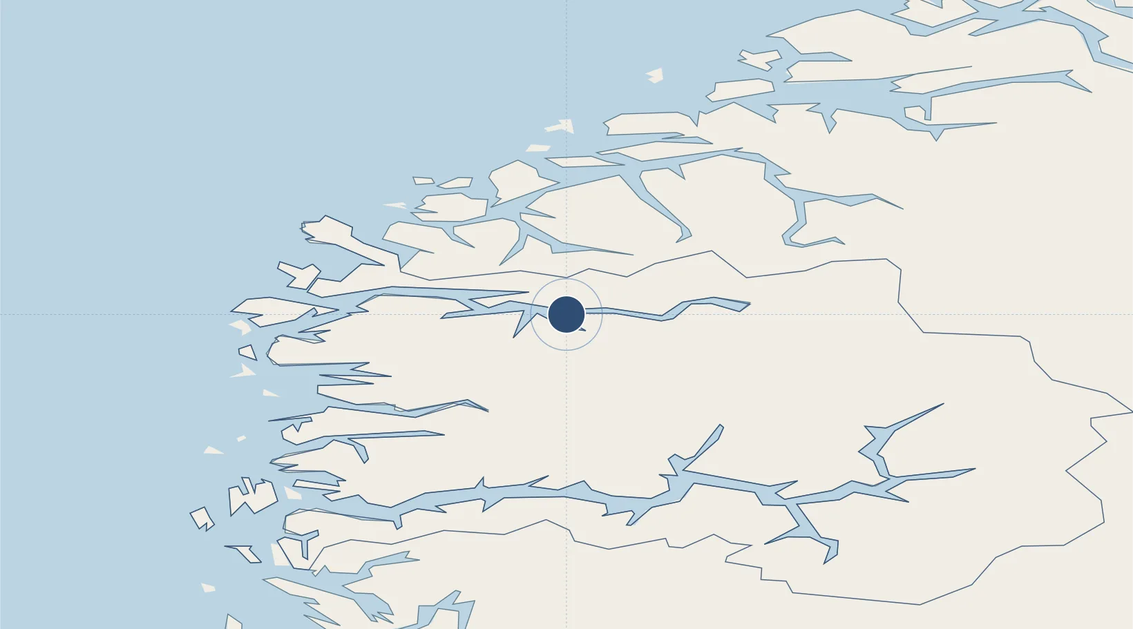
61.8300°, 6.1058°
3,182 ft
Longest runway
1
Runways
196 ft
Elevation
Runway & Layout

Navaids
AD NDB Anda 288 kHz
Runways · 1
| Runway | Dimensions | Surface | True heading | Lit |
|---|---|---|---|---|
| 08/26 | 3,182 × 98ft | Asphalt | 085° | ✓ |
Airport Specifications
IATA code
SDN
ICAO code
ENSD
Airport class
Small airport
Scheduled service
Yes
Runway surface
Asphalt
Served city
Sandane
Location
Nearby Logistics Neighbours
Airports
- 1Ørsta-Volda Airport, Hovden39 km
- 2Førde Airport, Bringeland52 km
- 3Florø Airport63 km
- 4Ålesund Airport81 km
- 5Sogndal Airport, Haukåsen93 km
Cities
- 1Nordfjordeid10 km
- 2Innvik27 km
- 3Stryn32 km
- 4Volda34 km
- 5Kalvneset36 km
Ports
- 1Orstav41 km
- 2Maloy53 km
- 3Moldtustranda57 km
- 4Hareid60 km
- 5Floro62 km
Trade Zones
- 1Gothenburg Boundless Customs Warehouse559 km
- 2Jönköping Free Zone635 km
- 3Freeport of Copenhagen- Nordhavn775 km
- 4MTS Malmö Transport and Spedition800 km
- 5Freeport of Kiel867 km
DatabookThe Record of Consolidated Knowledge
Norway beyond logistics?