Transport Functions
Port
Road
Hub Profile
Place type
Provincial seat
Region
Møre og Romsdal
Population
2,088
Time zone
Europe/Oslo
Elevation
1 m
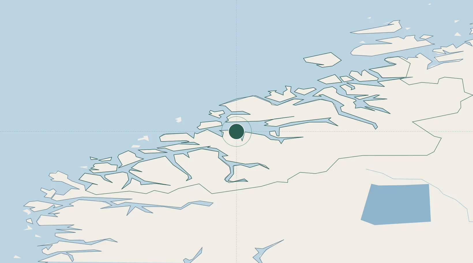
Location
Nearby Logistics Neighbours
Cities
- 1Skorgeneset8 km
- 2Tomrefjord10 km
- 3Molde13 km
- 4Midsund21 km
- 5Aukra22 km
Airports
- 1Molde Airport, Årø16 km
- 2Ålesund Airport50 km
- 3Kristiansund Airport, Kvernberget66 km
- 4Ørsta-Volda Airport, Hovden72 km
- 5Sandane Airport, Anda102 km
Trade Zones
- 1Gothenburg Boundless Customs Warehouse607 km
- 2Jönköping Free Zone665 km
- 3Freeport of Copenhagen- Nordhavn831 km
- 4MTS Malmö Transport and Spedition853 km
- 5Freeport of Kiel940 km
DatabookThe Record of Consolidated Knowledge
Norway beyond logistics?