Transport Functions
Port
Hub Profile
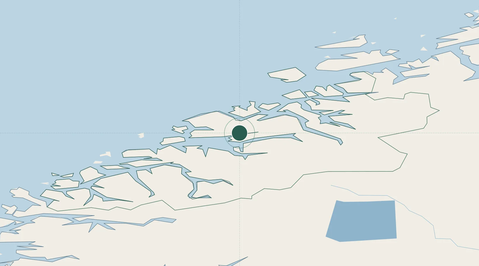
Place type
Populated place
Region
Møre og Romsdal
Population
1,001
Time zone
Europe/Oslo
Location
Nearby Logistics Neighbours
Cities
- 1Eide13 km
- 2Molde16 km
- 3Ramsvika19 km
- 4Visnes - Eide19 km
- 5Elnesvågen19 km
Ports
- 1Molde17 km
- 2Andalsnes26 km
- 3Haroysund29 km
- 4Kristiansund39 km
- 5Sunndalsora56 km
Airports
- 1Molde Airport, Årø12 km
- 2Kristiansund Airport, Kvernberget40 km
- 3Ålesund Airport74 km
- 4Ørsta-Volda Airport, Hovden99 km
- 5Sandane Airport, Anda128 km
Trade Zones
- 1Gothenburg Boundless Customs Warehouse613 km
- 2Jönköping Free Zone666 km
- 3Freeport of Copenhagen- Nordhavn838 km
- 4MTS Malmö Transport and Spedition859 km
- 5Freeport of Kiel952 km
DatabookThe Record of Consolidated Knowledge
Norway beyond logistics?