Transport Functions
Road
Multimodal
Hub Profile
Place type
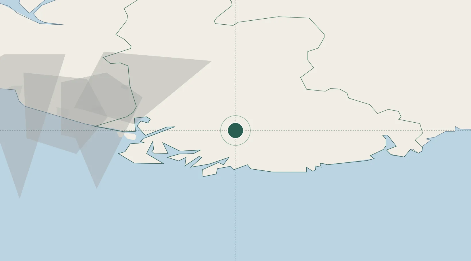
Populated place
Region
Agder
Time zone
Europe/Oslo
Elevation
49 m
Location
Nearby Logistics Neighbours
Cities
- 1Agnefest17 km
- 2Båly24 km
- 3Byremo25 km
- 4Kvåfjord25 km
- 5Hausvikstrand27 km
Ports
- 1Farsund29 km
- 2Mandal31 km
- 3Flekkefjorden31 km
- 4Kirkehamn39 km
- 5Kristiansand50 km
Airports
- 1Kristiansand Airport53 km
- 2Stavanger Airport, Sola114 km
- 3Thisted Airport160 km
- 4Haugesund Airport, Karmøy167 km
- 5Skien Airport173 km
Trade Zones
- 1Gothenburg Boundless Customs Warehouse280 km
- 2Jönköping Free Zone410 km
- 3Freeport of Copenhagen- Nordhavn433 km
- 4MTS Malmö Transport and Spedition464 km
- 5Freeport of Kiel473 km
DatabookThe Record of Consolidated Knowledge
Norway beyond logistics?