Seaport · Norway
KristiansandNOKRS
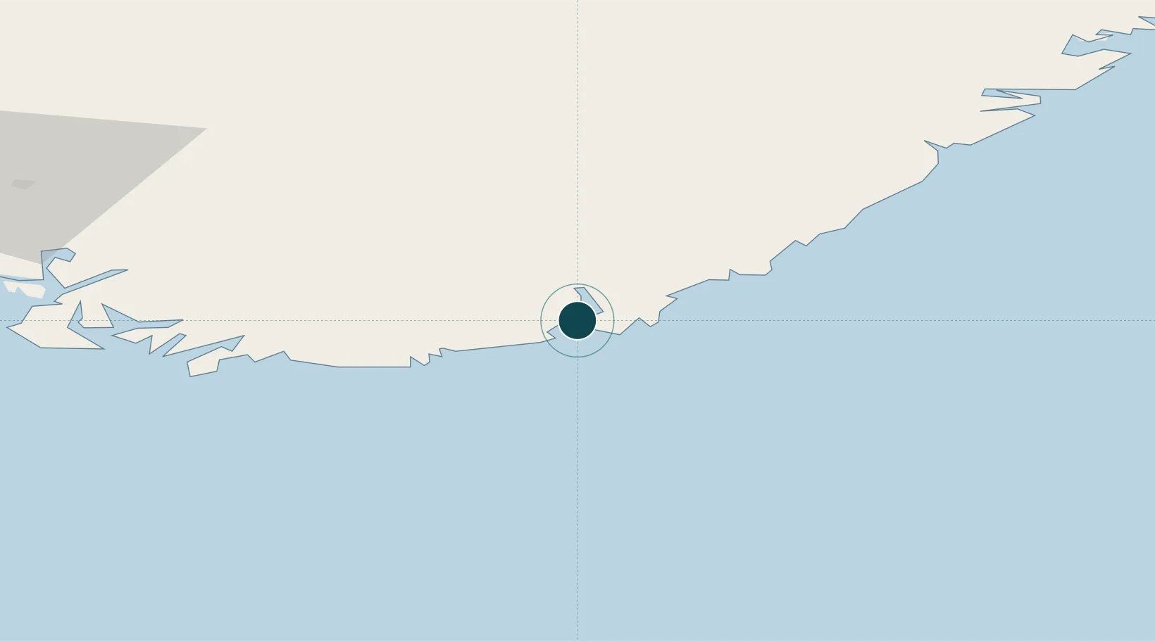
58.1389°, 8.0128°
4.9 m
Channel depth
1
Container terminals
46.9
Port liner connectivity
Channel & Berth Profile
Pilotage, Tugs & Services
Pilotage compulsoryYES
Pilotage availableYES
Pilotage advisableYES
Tug assistanceYES
Salvage tugsYES
Shore powerYES
Potable waterYES
Diesel bunkersYES
MedicalYES
Garbage disposalYES
Facilities & Capabilities
ContainerYES
Ro-RoYES
Liquid bulkYES
Dry bulkYES
Oil terminalNO
Break bulkYES
Dry dockNO
RepairsNO
BunkeringYES
Rail linkYES
Dangerous cargo—
ISPS security—
Harbour Specifications
Harbour size
Small
Harbour type
Coastal (Natural)
Shelter
Good
Water body
Skagerrak; North Atlantic Ocean
Tidal range
2 m
Overhead limit
Yes
Pilotage
Yes
Liner Connectivity
46.9
PLSCI
Port Liner Shipping Connectivity Index for Kristiansand, as published by UNCTAD for the latest available quarter. Higher values indicate stronger scheduled liner-shipping integration.
Shown relative to the highest per-port PLSCI in the dataset (1,657.9).
Location
Container Terminals · 1
KRISTIANSAND CONTAINER TERMINAL
KRSCT GREENCARRIER FREIGHT SERVICES / SEAFRONT PORT SERVICES AS
Nearby Logistics Neighbours
Ports
- 1Mandal35 km
- 2Arendal57 km
- 3Farsund72 km
- 4Tvedestrand76 km
- 5Flekkefjorden81 km
Airports
- 1Kristiansand Airport8 km
- 2Thisted Airport126 km
- 3Skien Airport147 km
- 4Sindal Airport149 km
- 5Aalborg Airport160 km
Trade Zones
- 1Gothenburg Boundless Customs Warehouse229 km
- 2Jönköping Free Zone361 km
- 3Freeport of Copenhagen- Nordhavn387 km
- 4MTS Malmö Transport and Spedition418 km
- 5Freeport of Kiel444 km
DatabookThe Record of Consolidated Knowledge
Norway beyond logistics?