Transport Functions
Multimodal
Hub Profile
Place type
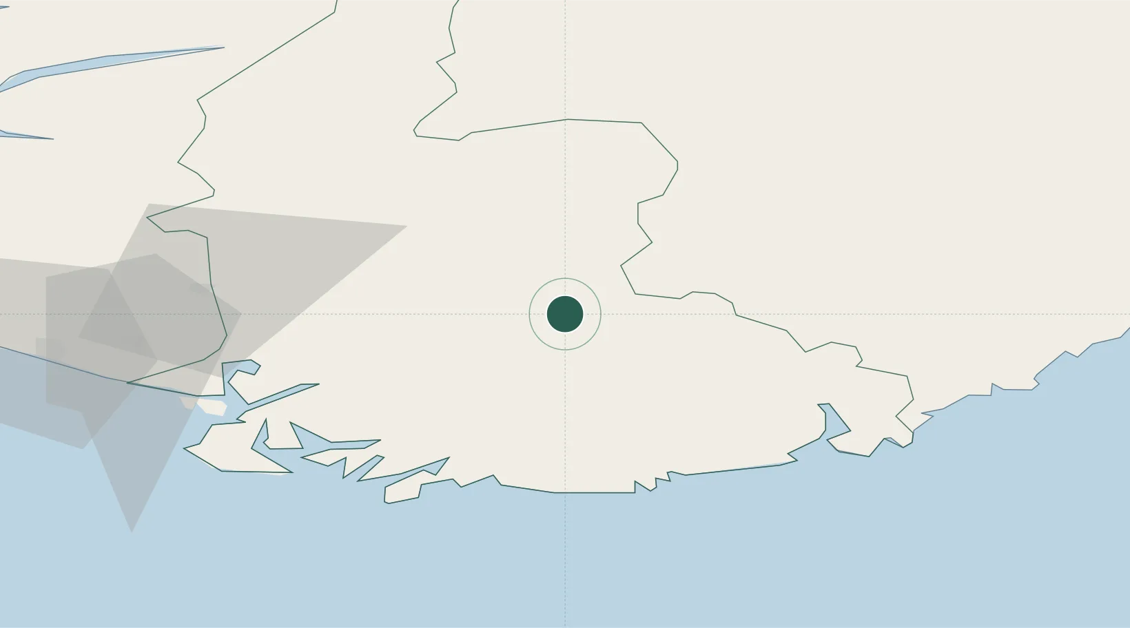
Populated place
Region
Agder
Time zone
Europe/Oslo
Elevation
119 m
Location
Nearby Logistics Neighbours
Ports
- 1Mandal46 km
- 2Kristiansand48 km
- 3Flekkefjorden48 km
- 4Farsund53 km
- 5Kirkehamn57 km
Airports
- 1Kristiansand Airport47 km
- 2Stavanger Airport, Sola114 km
- 3Skien Airport149 km
- 4Haugesund Airport, Karmøy162 km
- 5Notodden Airport163 km
Trade Zones
- 1Gothenburg Boundless Customs Warehouse271 km
- 2Jönköping Free Zone399 km
- 3Freeport of Copenhagen- Nordhavn435 km
- 4MTS Malmö Transport and Spedition466 km
- 5Freeport of Kiel486 km
DatabookThe Record of Consolidated Knowledge
Norway beyond logistics?