Transport Functions
Port
Hub Profile
Place type
Populated place
Region
Agder
Time zone
Europe/Oslo
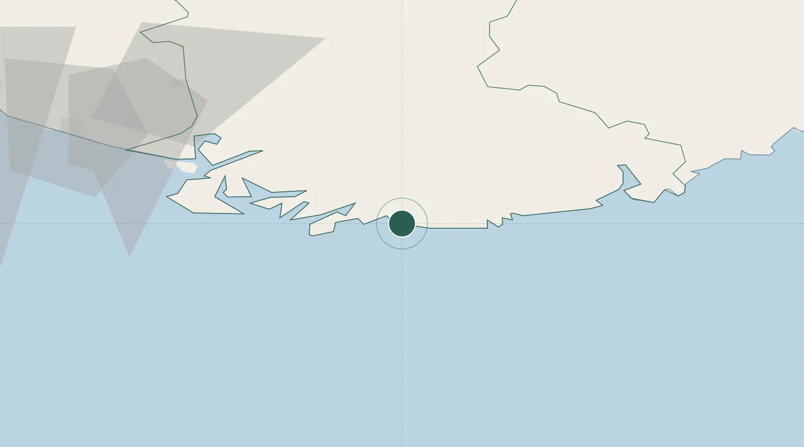
Location
Nearby Logistics Neighbours
Cities
- 1Båly9 km
- 2Mandal9 km
- 3Agnefest18 km
- 4Hausvikstrand19 km
- 5Moi25 km
Ports
- 1Mandal10 km
- 2Farsund30 km
- 3Kristiansand44 km
- 4Flekkefjorden46 km
- 5Kirkehamn50 km
Airports
- 1Kristiansand Airport50 km
- 2Stavanger Airport, Sola135 km
- 3Thisted Airport136 km
- 4Skien Airport183 km
- 5Aalborg Airport184 km
Trade Zones
- 1Gothenburg Boundless Customs Warehouse269 km
- 2Jönköping Free Zone402 km
- 3Freeport of Copenhagen- Nordhavn412 km
- 4MTS Malmö Transport and Spedition444 km
- 5Freeport of Kiel448 km
DatabookThe Record of Consolidated Knowledge
Norway beyond logistics?