Transport Functions
Port
Road
Hub Profile
Place type
Provincial seat
Region
Agder
Population
11,053
Time zone
Europe/Oslo
Elevation
11 m
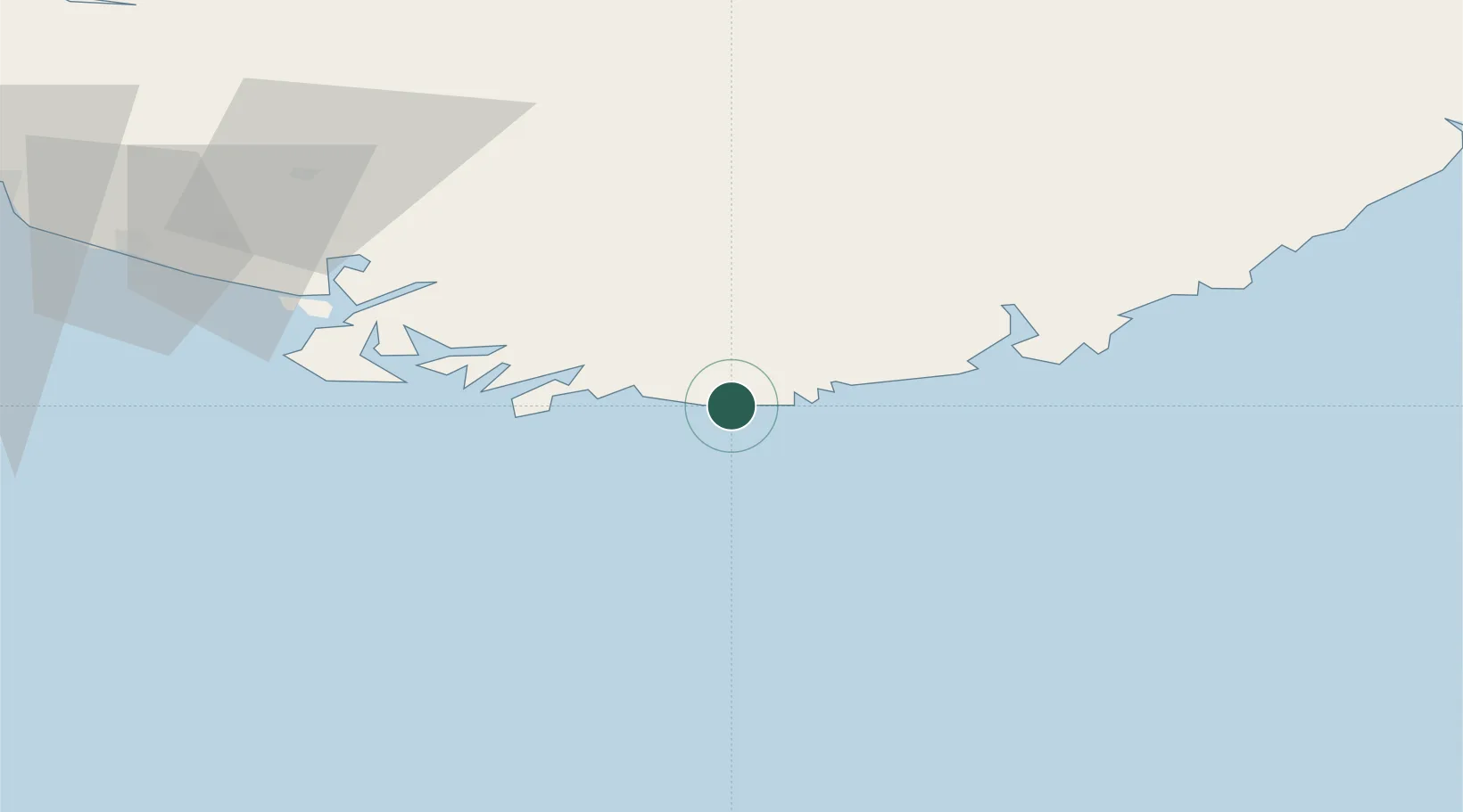
Location
Nearby Logistics Neighbours
Ports
- 1Kristiansand36 km
- 2Farsund39 km
- 3Flekkefjorden54 km
- 4Kirkehamn59 km
- 5Jossingfjord73 km
Airports
- 1Kristiansand Airport43 km
- 2Thisted Airport129 km
- 3Stavanger Airport, Sola142 km
- 4Aalborg Airport176 km
- 5Skien Airport179 km
Trade Zones
- 1Gothenburg Boundless Customs Warehouse260 km
- 2Jönköping Free Zone394 km
- 3Freeport of Copenhagen- Nordhavn404 km
- 4MTS Malmö Transport and Spedition436 km
- 5Freeport of Kiel443 km
DatabookThe Record of Consolidated Knowledge
Norway beyond logistics?