Transport Functions
Port
Hub Profile
Region
10
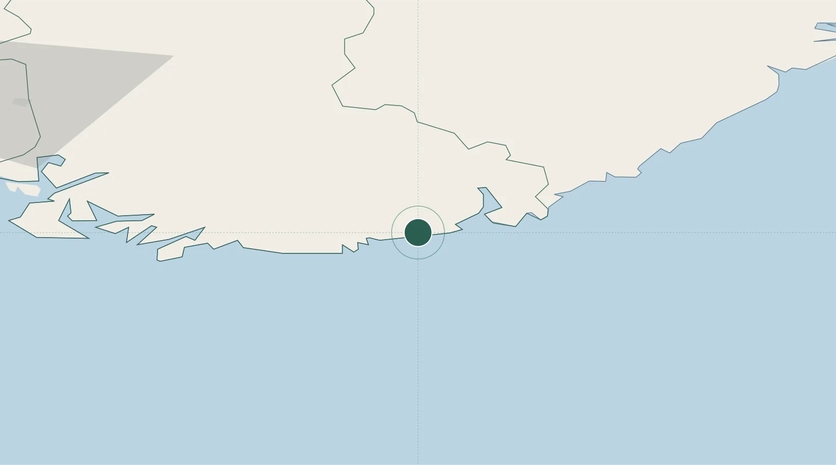
Location
Nearby Logistics Neighbours
Cities
- 1Høllen0 km
- 2Kristiansand12 km
- 3Ålefjær20 km
- 4Øvrebø22 km
- 5Mandal23 km
Ports
- 1Kristiansand13 km
- 2Mandal22 km
- 3Farsund60 km
- 4Arendal70 km
- 5Flekkefjorden71 km
Airports
- 1Kristiansand Airport21 km
- 2Thisted Airport125 km
- 3Stavanger Airport, Sola154 km
- 4Skien Airport159 km
- 5Aalborg Airport164 km
Trade Zones
- 1Gothenburg Boundless Customs Warehouse240 km
- 2Jönköping Free Zone372 km
- 3Freeport of Copenhagen- Nordhavn392 km
- 4MTS Malmö Transport and Spedition423 km
- 5Freeport of Kiel442 km
DatabookThe Record of Consolidated Knowledge
Norway beyond logistics?