UN/LOCODE hub · Norway
NOLAO

Langøya

59.5000°, 10.3833°
1
Transport functions

Transport Functions

Port
UN/LOCODE

Hub Profile

Region
07
GeoNames

Location

Location of NOLAO
Natural Earth 10m (public domain) · 07 · NOLAO · 59.50, 10.38GoogleOSMYandex

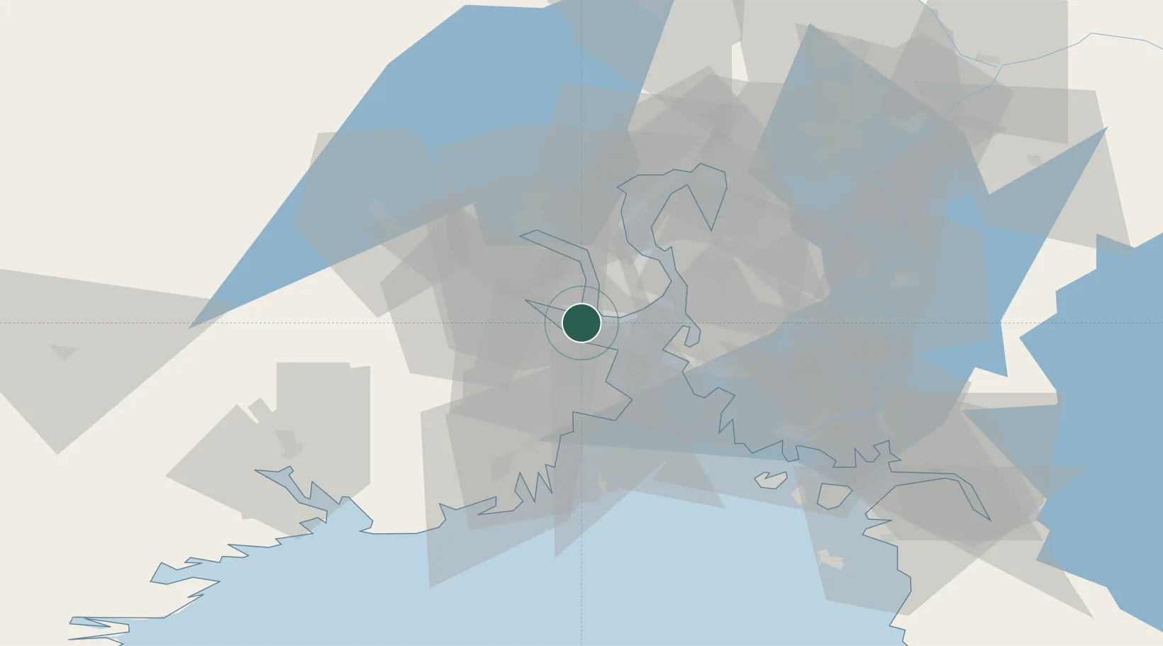
Nearby Logistics Neighbours

Cities
  1. 1Re2 km
  2. 2Holmestrand5 km
  3. 3Tofte - Hurum11 km
  4. 4Svelvik11 km
  5. 5Tofte12 km
Nearest neighbours — logibook spatial index (haversine) over the source coordinates
Ports
  1. 1Holmestrand3 km
  2. 2Horten11 km
  3. 3Tofte12 km
  4. 4Svelvik14 km
  5. 5Moss17 km
Nearest neighbours — logibook spatial index (haversine) over the source coordinates
Airports
  1. 1Moss Airport, Rygge26 km
  2. 2Sandefjord Airport, Torp36 km
  3. 3Skien Airport58 km
  4. 4Notodden Airport66 km
  5. 5Oslo-Gardermoen International Airport87 km
Nearest neighbours — logibook spatial index (haversine) over the source coordinates
Trade Zones
  1. 1Gothenburg Boundless Customs Warehouse216 km
  2. 2Jönköping Free Zone289 km
  3. 3Stockholm Free Zone437 km
  4. 4Freeport of Copenhagen- Nordhavn441 km
  5. 5MTS Malmö Transport and Spedition462 km
Nearest neighbours — logibook spatial index (haversine) over the source coordinates
DatabookThe Record of Consolidated Knowledge
Norway beyond logistics?
Browse databook

All Sources

LocationsUN/LOCODE
UN/LOCODE — free
Portsthe NGA World Port Index
Public domain (US gov)
AirportsOurAirports
Public domain
Trade Zonesthe World Bank SEZ database
CC BY 4.0
Trade ZonesOpen Zone Map
CC BY
← Norway locations