Transport Functions
Port
Rail
Road
Hub Profile
Place type
Provincial seat
Region
Vestfold
Population
6,135
Time zone
Europe/Oslo
Elevation
14 m
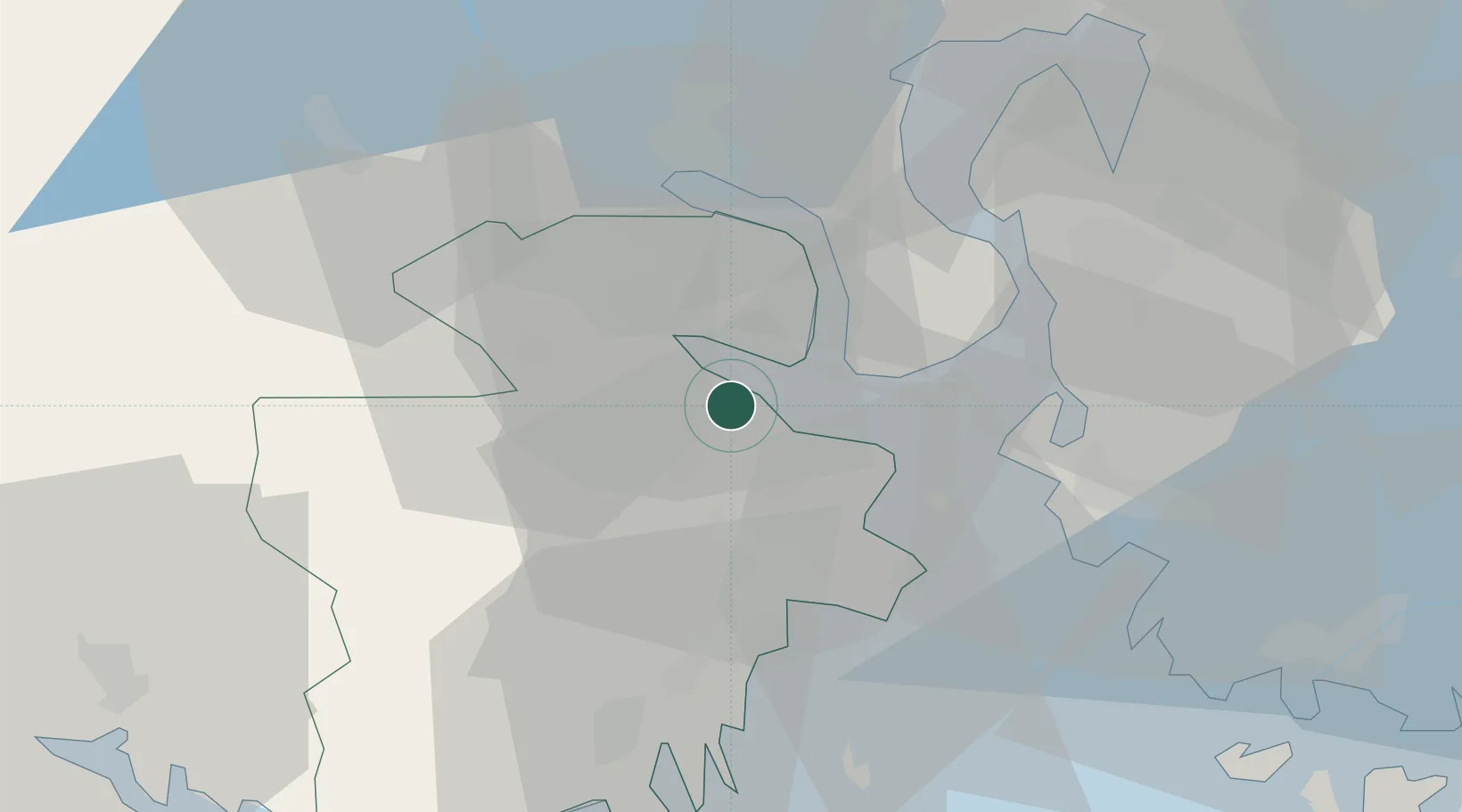
Location
Nearby Logistics Neighbours
Cities
- 1Re4 km
- 2Langøya5 km
- 3Undrumsdal13 km
- 4Horten14 km
- 5Svelvik14 km
Ports
- 1Horten14 km
- 2Svelvik17 km
- 3Tofte17 km
- 4Moss21 km
- 5Slagenstangen21 km
Airports
- 1Moss Airport, Rygge30 km
- 2Sandefjord Airport, Torp33 km
- 3Skien Airport53 km
- 4Notodden Airport62 km
- 5Oslo-Gardermoen International Airport91 km
Trade Zones
DatabookThe Record of Consolidated Knowledge
Norway beyond logistics?