UN/LOCODE hub · Norway
NOTOF

Tofte - Hurum

59.5333°, 10.5667°
2
Transport functions

Transport Functions

Port
Road
UN/LOCODE

Hub Profile

Region
06
GeoNames

Location

Location of NOTOF
Natural Earth 10m (public domain) · 06 · NOTOF · 59.53, 10.57GoogleOSMYandex

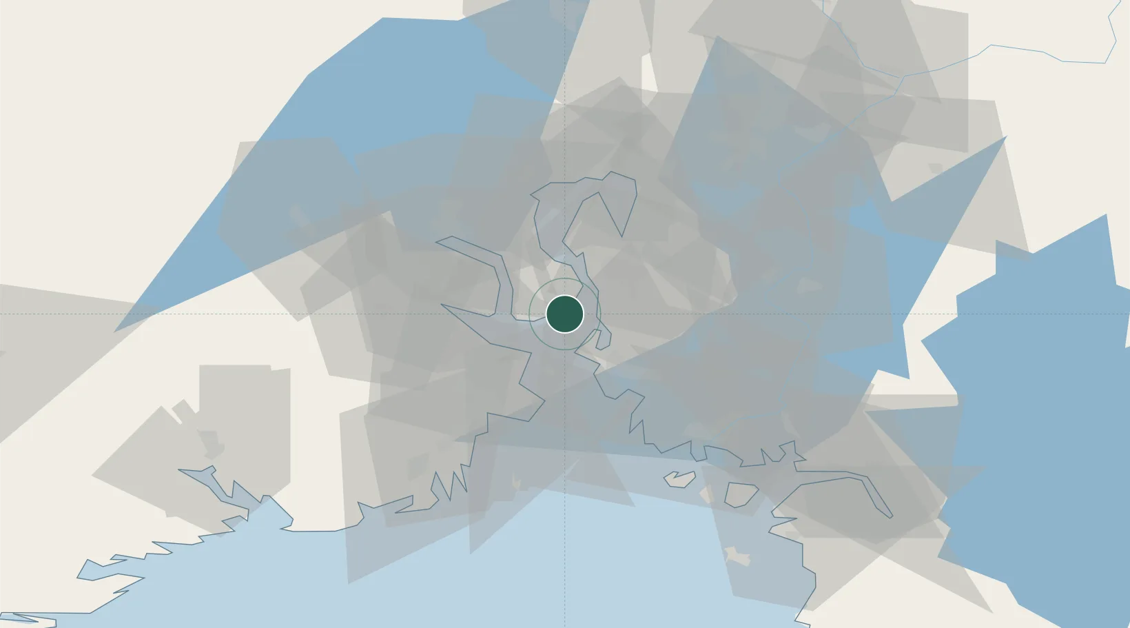
Nearby Logistics Neighbours

Cities
  1. 1Tofte2 km
  2. 2Halvorshavn6 km
  3. 3Kambo10 km
  4. 4Langøya11 km
  5. 5Svelvik12 km
Nearest neighbours — logibook spatial index (haversine) over the source coordinates
Ports
  1. 1Tofte1 km
  2. 2Kambo9 km
  3. 3Moss12 km
  4. 4Svelvik13 km
  5. 5Horten14 km
Nearest neighbours — logibook spatial index (haversine) over the source coordinates
Airports
  1. 1Moss Airport, Rygge21 km
  2. 2Sandefjord Airport, Torp42 km
  3. 3Skien Airport69 km
  4. 4Notodden Airport76 km
  5. 5Oslo-Gardermoen International Airport79 km
Nearest neighbours — logibook spatial index (haversine) over the source coordinates
Trade Zones
  1. 1Gothenburg Boundless Customs Warehouse216 km
  2. 2Jönköping Free Zone283 km
  3. 3Stockholm Free Zone427 km
  4. 4Freeport of Copenhagen- Nordhavn442 km
  5. 5MTS Malmö Transport and Spedition462 km
Nearest neighbours — logibook spatial index (haversine) over the source coordinates
DatabookThe Record of Consolidated Knowledge
Norway beyond logistics?
Browse databook

All Sources

LocationsUN/LOCODE
UN/LOCODE — free
Portsthe NGA World Port Index
Public domain (US gov)
AirportsOurAirports
Public domain
Trade Zonesthe World Bank SEZ database
CC BY 4.0
Trade ZonesOpen Zone Map
CC BY
← Norway locations