Transport Functions
Port
Road
Hub Profile
Place type
Provincial seat
Region
Buskerud
Population
3,926
Time zone
Europe/Oslo
Elevation
11 m
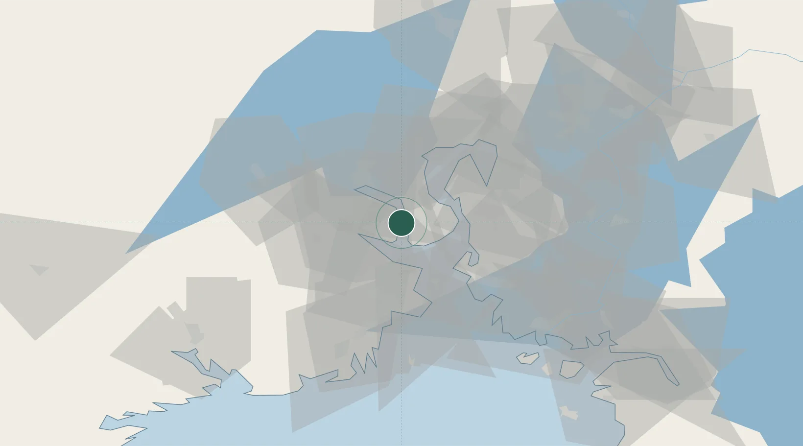
Location
Nearby Logistics Neighbours
Cities
- 1Tofte11 km
- 2Langøya11 km
- 3Engene12 km
- 4Tofte - Hurum12 km
- 5Halvorshavn12 km
Ports
- 1Tofte11 km
- 2Holmestrand13 km
- 3Drobak14 km
- 4Drammen17 km
- 5Fagerstrand18 km
Airports
- 1Moss Airport, Rygge33 km
- 2Sandefjord Airport, Torp47 km
- 3Skien Airport66 km
- 4Notodden Airport67 km
- 5Oslo-Gardermoen International Airport77 km
Trade Zones
DatabookThe Record of Consolidated Knowledge
Norway beyond logistics?