Channel & Berth Profile
Pilotage, Tugs & Services
Pilotage compulsoryYES
Pilotage availableYES
Tug assistanceYES
Potable waterYES
MedicalYES
Garbage disposalYES
Facilities & Capabilities
ContainerNO
Ro-RoYES
Liquid bulkNO
Dry bulkNO
Oil terminalNO
Break bulkYES
Dry dockNO
RepairsNO
BunkeringYES
Rail linkYES
Dangerous cargo—
ISPS security—
Harbour Specifications
Harbour size
Medium
Harbour type
Coastal (Natural)
Shelter
Good
Water body
Skagerrak; North Atlantic Ocean
Tidal range
1 m
Overhead limit
Yes
Pilotage
Yes
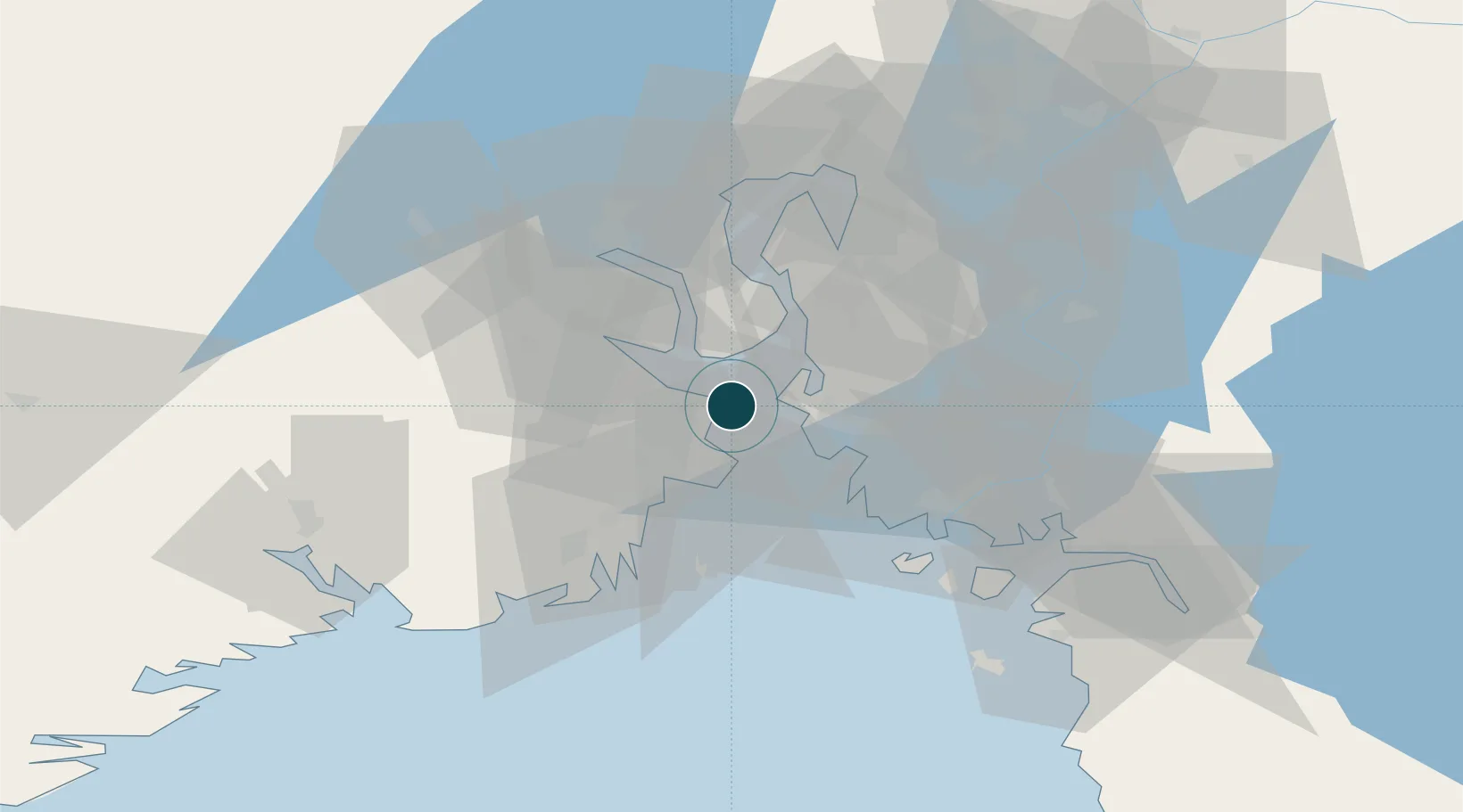
Location
Nearby Logistics Neighbours
Ports
- 1Moss9 km
- 2Slagenstangen10 km
- 3Kambo12 km
- 4Holmestrand13 km
- 5Tofte15 km
Cities
- 1Mosterhamn9 km
- 2Moss9 km
- 3Undrumsdal10 km
- 4Re11 km
- 5Slagentangen11 km
Airports
- 1Moss Airport, Rygge17 km
- 2Sandefjord Airport, Torp29 km
- 3Skien Airport59 km
- 4Notodden Airport75 km
- 5Oslo-Gardermoen International Airport93 km
Trade Zones
DatabookThe Record of Consolidated Knowledge
Norway beyond logistics?