Transport Functions
Road
Multimodal
Hub Profile
Place type
Populated place
Region
Akershus
Population
3,109
Time zone
Europe/Oslo
Elevation
13 m
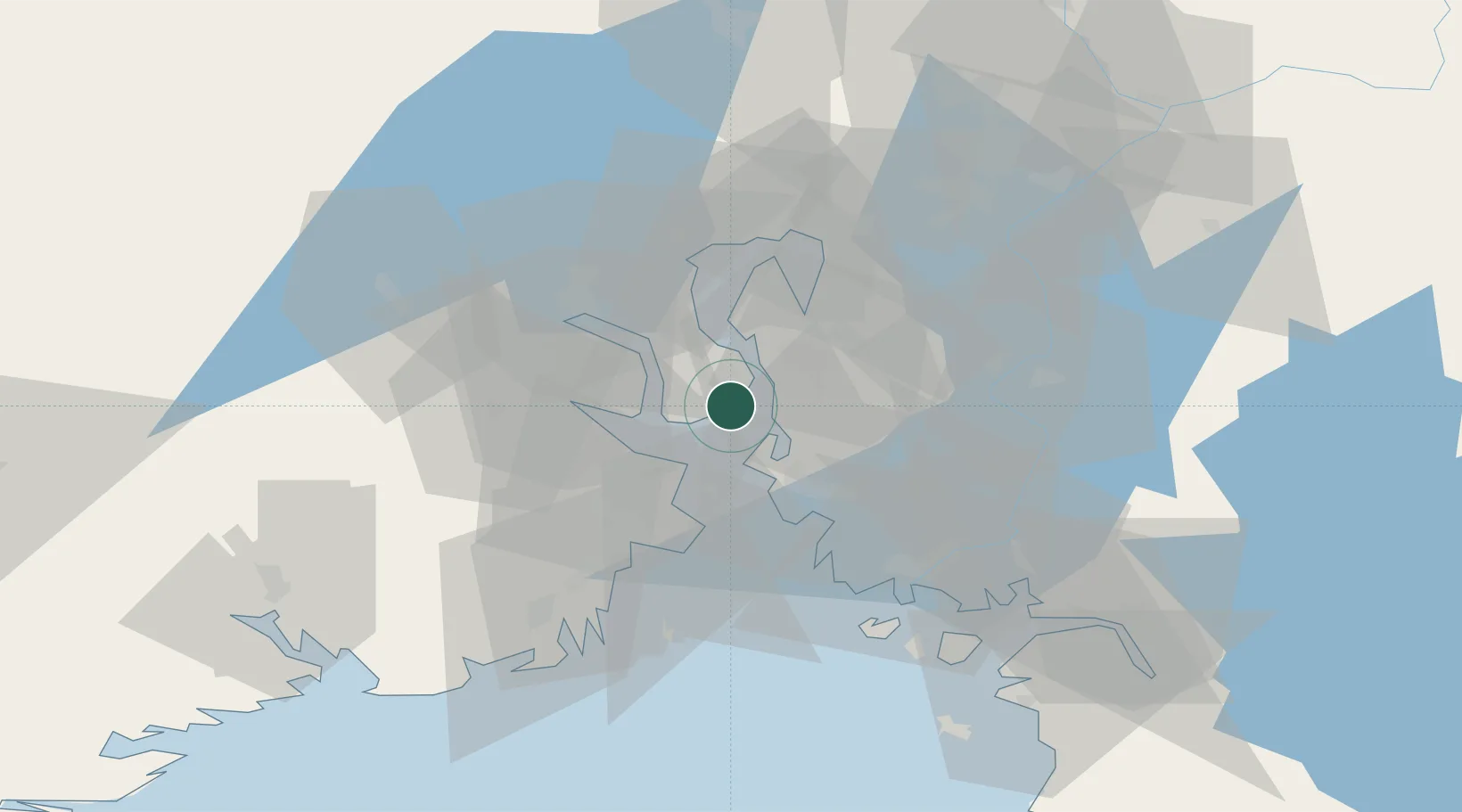
Location
Nearby Logistics Neighbours
Cities
- 1Tofte - Hurum2 km
- 2Halvorshavn5 km
- 3Svelvik11 km
- 4Kambo11 km
- 5Drøbak12 km
Airports
- 1Moss Airport, Rygge23 km
- 2Sandefjord Airport, Torp44 km
- 3Skien Airport70 km
- 4Notodden Airport76 km
- 5Oslo-Gardermoen International Airport78 km
Trade Zones
DatabookThe Record of Consolidated Knowledge
Norway beyond logistics?