Transport Functions
Port
Hub Profile
Place type
Populated place
Region
Trøndelag
Time zone
Europe/Oslo
Elevation
420 m
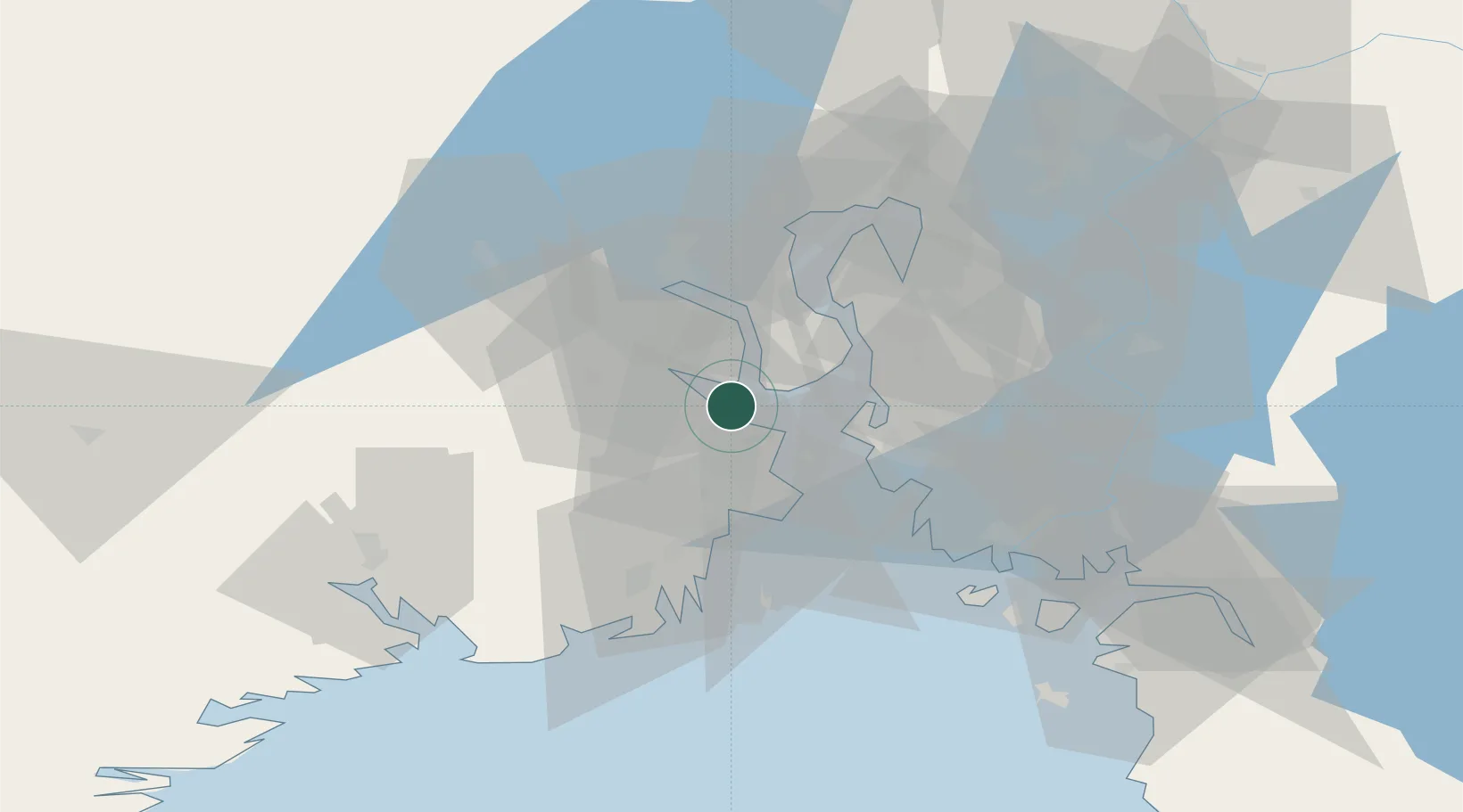
Location
Nearby Logistics Neighbours
Cities
- 1Langøya2 km
- 2Holmestrand4 km
- 3Horten11 km
- 4Tofte - Hurum13 km
- 5Undrumsdal13 km
Ports
- 1Holmestrand2 km
- 2Horten11 km
- 3Tofte13 km
- 4Svelvik15 km
- 5Moss17 km
Airports
- 1Moss Airport, Rygge26 km
- 2Sandefjord Airport, Torp34 km
- 3Skien Airport56 km
- 4Notodden Airport66 km
- 5Oslo-Gardermoen International Airport89 km
Trade Zones
DatabookThe Record of Consolidated Knowledge
Norway beyond logistics?