Channel & Berth Profile
Pilotage, Tugs & Services
Pilotage compulsoryNO
Pilotage availableYES
Tug assistanceYES
Potable waterYES
MedicalYES
Facilities & Capabilities
ContainerNO
Ro-RoYES
Liquid bulkYES
Dry bulkYES
Oil terminalNO
Break bulkYES
Dry dock—
RepairsNO
BunkeringYES
Rail linkYES
Dangerous cargo—
ISPS security—
Harbour Specifications
Harbour size
Very Small
Harbour type
Coastal (Breakwater)
Shelter
Good
Water body
Skagerrak; North Atlantic Ocean
Pilotage
No
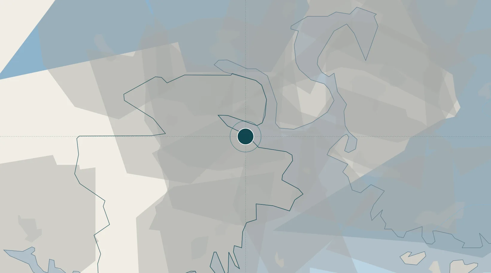
Location
Nearby Logistics Neighbours
Cities
- 1Re2 km
- 2Langøya3 km
- 3Svelvik13 km
- 4Horten13 km
- 5Undrumsdal14 km
Airports
- 1Moss Airport, Rygge29 km
- 2Sandefjord Airport, Torp34 km
- 3Skien Airport55 km
- 4Notodden Airport63 km
- 5Oslo-Gardermoen International Airport89 km
Trade Zones
DatabookThe Record of Consolidated Knowledge
Norway beyond logistics?