UN/LOCODE hub · Norway
NOMOV

Mølstrevåg

59.5167°, 5.2667°
1
Transport functions

Transport Functions

Port
UN/LOCODE

Hub Profile

Region
12
GeoNames

Location

Location of NOMOV
Natural Earth 10m (public domain) · 12 · NOMOV · 59.52, 5.27GoogleOSMYandex

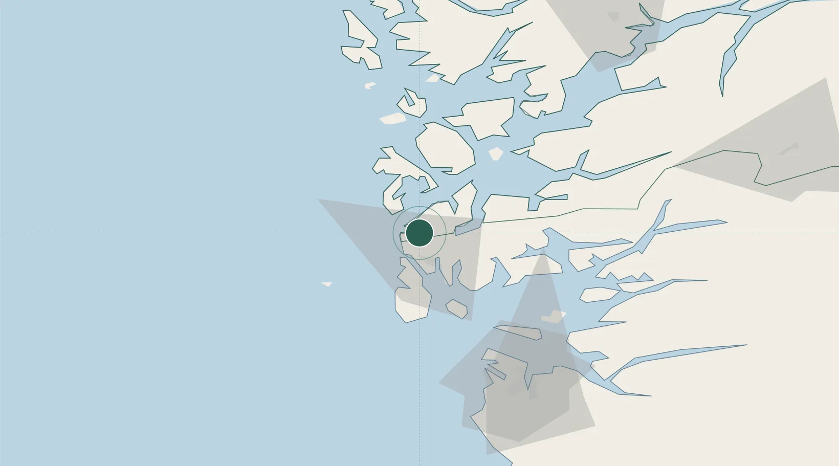
Nearby Logistics Neighbours

Cities
  1. 1Sveio6 km
  2. 2Bømlo10 km
  3. 3Storesund11 km
  4. 4Langevåg11 km
  5. 5Storøya11 km
Nearest neighbours — logibook spatial index (haversine) over the source coordinates
Ports
  1. 1Haugesund12 km
  2. 2Mosterhamn21 km
  3. 3Kopervik26 km
  4. 4Akrahamn28 km
  5. 5Leirvik30 km
Nearest neighbours — logibook spatial index (haversine) over the source coordinates
Airports
  1. 1Haugesund Airport, Karmøy19 km
  2. 2Stord Airport, Sørstokken31 km
  3. 3Stavanger Airport, Sola74 km
  4. 4Bergen Airport, Flesland86 km
  5. 5Sogndal Airport, Haukåsen209 km
Nearest neighbours — logibook spatial index (haversine) over the source coordinates
Trade Zones
  1. 1Gothenburg Boundless Customs Warehouse429 km
  2. 2Freeport of Kiel648 km
  3. 3North Eastern Enterprise Zone653 km
  4. 4Freeport of Cuxhaven (Freihafen Cuxhaven)664 km
  5. 5Tees Valley Enterprise Zone671 km
Nearest neighbours — logibook spatial index (haversine) over the source coordinates
DatabookThe Record of Consolidated Knowledge
Norway beyond logistics?
Browse databook

All Sources

LocationsUN/LOCODE
UN/LOCODE — free
Portsthe NGA World Port Index
Public domain (US gov)
AirportsOurAirports
Public domain
Trade Zonesthe World Bank SEZ database
CC BY 4.0
Trade ZonesOpen Zone Map
CC BY
← Norway locations