UN/LOCODE hub · Norway
NOBOM

Bømlo

59.6000°, 5.2167°
1
Transport functions

Transport Functions

Port
UN/LOCODE

Hub Profile

Region
12
GeoNames

Location

Location of NOBOM
Natural Earth 10m (public domain) · 12 · NOBOM · 59.60, 5.22GoogleOSMYandex

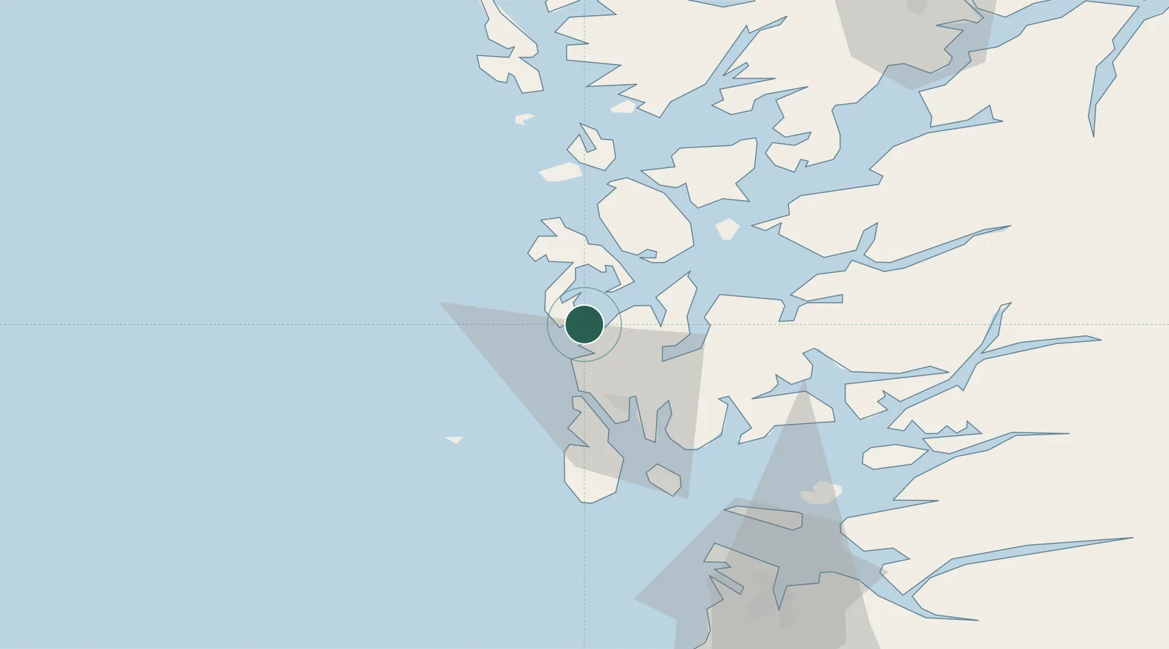
Nearby Logistics Neighbours

Cities
  1. 1Langevåg3 km
  2. 2Sveio9 km
  3. 3Mølstrevåg10 km
  4. 4Valevåg18 km
  5. 5Osnes - Vindafjord20 km
Nearest neighbours — logibook spatial index (haversine) over the source coordinates
Ports
  1. 1Mosterhamn15 km
  2. 2Haugesund21 km
  3. 3Leirvik24 km
  4. 4Kopervik36 km
  5. 5Akrahamn37 km
Nearest neighbours — logibook spatial index (haversine) over the source coordinates
Airports
  1. 1Stord Airport, Sørstokken22 km
  2. 2Haugesund Airport, Karmøy28 km
  3. 3Bergen Airport, Flesland77 km
  4. 4Stavanger Airport, Sola84 km
  5. 5Førde Airport, Bringeland201 km
Nearest neighbours — logibook spatial index (haversine) over the source coordinates
Trade Zones
  1. 1Gothenburg Boundless Customs Warehouse436 km
  2. 2Freeport of Kiel658 km
  3. 3North Eastern Enterprise Zone658 km
  4. 4Freeport of Cuxhaven (Freihafen Cuxhaven)674 km
  5. 5Tees Valley Enterprise Zone677 km
Nearest neighbours — logibook spatial index (haversine) over the source coordinates
DatabookThe Record of Consolidated Knowledge
Norway beyond logistics?
Browse databook

All Sources

LocationsUN/LOCODE
UN/LOCODE — free
Portsthe NGA World Port Index
Public domain (US gov)
AirportsOurAirports
Public domain
Trade Zonesthe World Bank SEZ database
CC BY 4.0
Trade ZonesOpen Zone Map
CC BY
← Norway locations