Transport Functions
Port
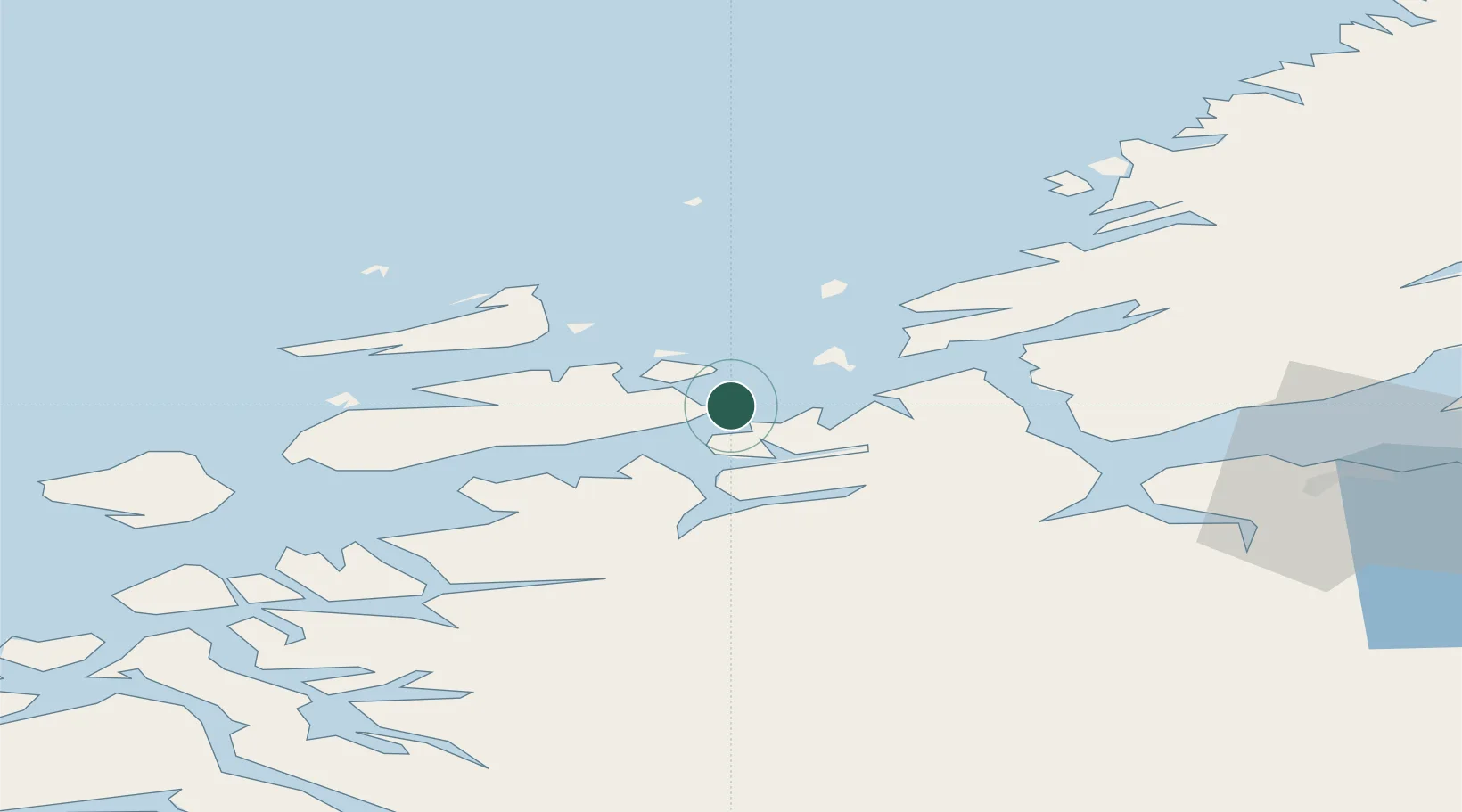
Hub Profile
Place type
Populated place
Region
Trøndelag
Population
241
Time zone
Europe/Oslo
Elevation
35 m
Location
Nearby Logistics Neighbours
Cities
- 1Ansnes12 km
- 2Tjeldbergodden15 km
- 3Dolmøy23 km
- 4Hammarvika - Frøya24 km
- 5Sistranda25 km
Ports
- 1Trondheim61 km
- 2Hommelvik81 km
- 3Muruvik83 km
- 4Langstein84 km
- 5Kristiansund89 km
Airports
- 1Ørland Airport25 km
- 2Kristiansund Airport, Kvernberget85 km
- 3Trondheim Airport, Værnes86 km
- 4Molde Airport, Årø134 km
- 5Namsos Airport154 km
Trade Zones
DatabookThe Record of Consolidated Knowledge
Norway beyond logistics?