UN/LOCODE hub · Norway
NOHOF

Hof

59.5500°, 10.0333°
2
Transport functions

Transport Functions

Port
Multimodal
UN/LOCODE

Hub Profile

Place type
Populated place
GeoNames
Region
Vestfold
GeoNames
Time zone
Europe/Oslo
GeoNames
Elevation
70 m
GeoNames

Location

Location of NOHOF
Natural Earth 10m (public domain) · Vestfold · NOHOF · 59.55, 10.03GoogleOSMYandex

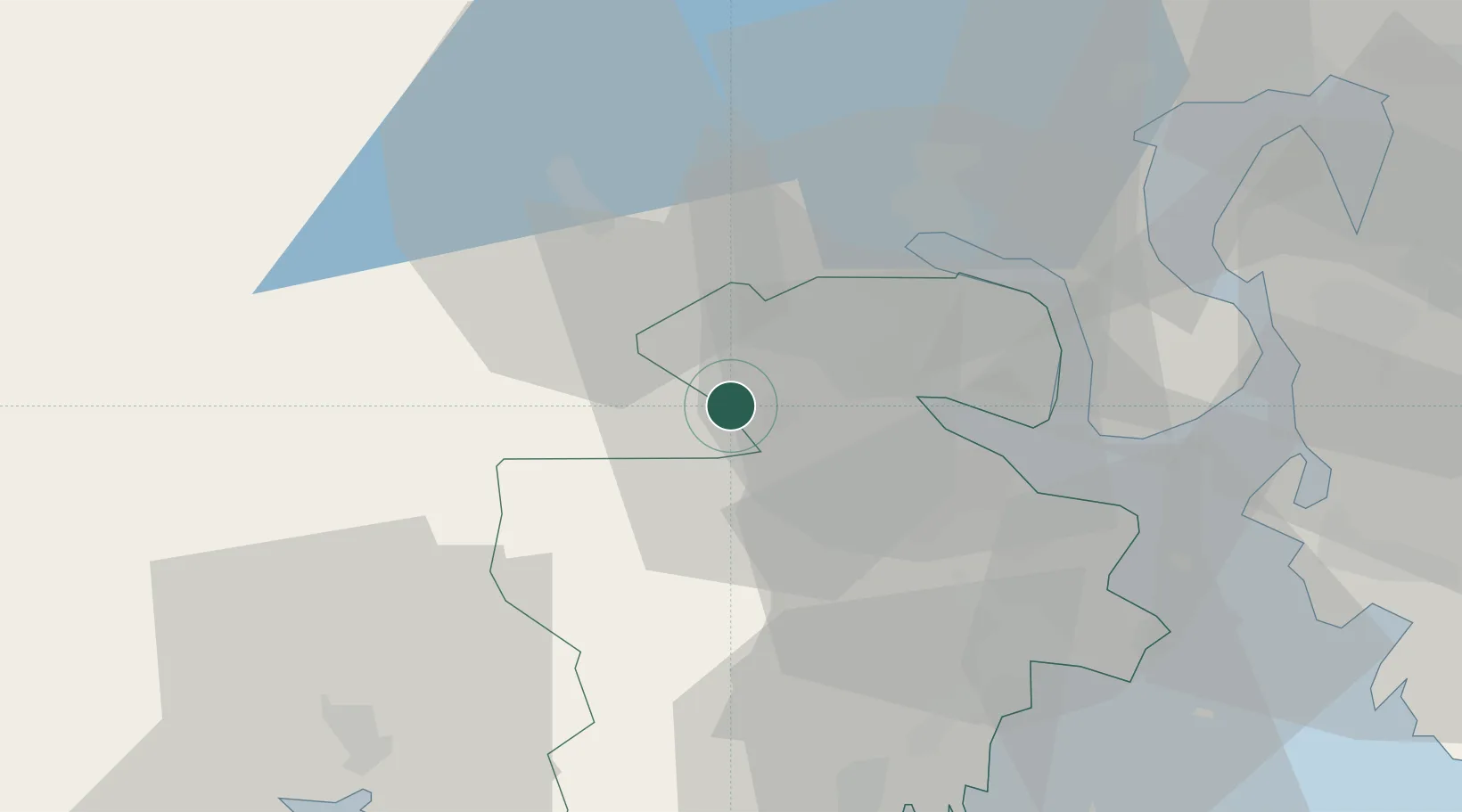
Nearby Logistics Neighbours

Cities
  1. 1Holmestrand17 km
  2. 2Re20 km
  3. 3Langøya21 km
  4. 4Svelvik21 km
  5. 5Vestfossen22 km
Nearest neighbours — logibook spatial index (haversine) over the source coordinates
Ports
  1. 1Holmestrand18 km
  2. 2Svelvik23 km
  3. 3Drammen24 km
  4. 4Horten30 km
  5. 5Tofte30 km
Nearest neighbours — logibook spatial index (haversine) over the source coordinates
Airports
  1. 1Sandefjord Airport, Torp42 km
  2. 2Notodden Airport46 km
  3. 3Moss Airport, Rygge47 km
  4. 4Skien Airport48 km
  5. 5Oslo-Gardermoen International Airport93 km
Nearest neighbours — logibook spatial index (haversine) over the source coordinates
Trade Zones
  1. 1Gothenburg Boundless Customs Warehouse229 km
  2. 2Jönköping Free Zone307 km
  3. 3Freeport of Copenhagen- Nordhavn453 km
  4. 4Stockholm Free Zone457 km
  5. 5MTS Malmö Transport and Spedition475 km
Nearest neighbours — logibook spatial index (haversine) over the source coordinates
DatabookThe Record of Consolidated Knowledge
Norway beyond logistics?
Browse databook

All Sources

LocationsUN/LOCODE
UN/LOCODE — free
Portsthe NGA World Port Index
Public domain (US gov)
AirportsOurAirports
Public domain
Trade Zonesthe World Bank SEZ database
CC BY 4.0
Trade ZonesOpen Zone Map
CC BY
← Norway locations