UN/LOCODE hub · Norway
NOVSS

Vestfossen

59.7333°, 9.8667°
2
Transport functions

Transport Functions

Rail
Road
UN/LOCODE

Hub Profile

Place type
Populated place
GeoNames
Region
Buskerud
GeoNames
Time zone
Europe/Oslo
GeoNames
Elevation
27 m
GeoNames

Location

Location of NOVSS
Natural Earth 10m (public domain) · Buskerud · NOVSS · 59.73, 9.87GoogleOSMYandex

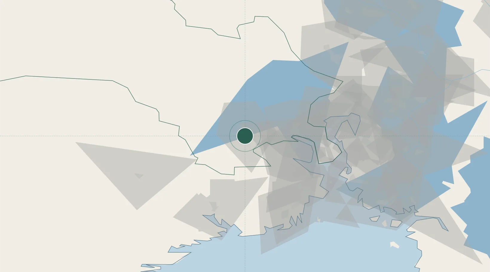
Nearby Logistics Neighbours

Cities
  1. 1Solbergelva12 km
  2. 2Drammen21 km
  3. 3Hof22 km
  4. 4Tranby23 km
  5. 5Spikkestad26 km
Nearest neighbours — logibook spatial index (haversine) over the source coordinates
Ports
  1. 1Drammen22 km
  2. 2Svelvik33 km
  3. 3Holmestrand37 km
  4. 4Fagerstrand40 km
  5. 5Drobak43 km
Nearest neighbours — logibook spatial index (haversine) over the source coordinates
Airports
  1. 1Notodden Airport41 km
  2. 2Skien Airport63 km
  3. 3Sandefjord Airport, Torp65 km
  4. 4Moss Airport, Rygge65 km
  5. 5Oslo-Gardermoen International Airport86 km
Nearest neighbours — logibook spatial index (haversine) over the source coordinates
Trade Zones
  1. 1Gothenburg Boundless Customs Warehouse252 km
  2. 2Jönköping Free Zone327 km
  3. 3Freeport of Copenhagen- Nordhavn475 km
  4. 4MTS Malmö Transport and Spedition497 km
  5. 5Freeport of Kiel601 km
Nearest neighbours — logibook spatial index (haversine) over the source coordinates
DatabookThe Record of Consolidated Knowledge
Norway beyond logistics?
Browse databook

All Sources

LocationsUN/LOCODE
UN/LOCODE — free
Portsthe NGA World Port Index
Public domain (US gov)
AirportsOurAirports
Public domain
Trade Zonesthe World Bank SEZ database
CC BY 4.0
Trade ZonesOpen Zone Map
CC BY
← Norway locations