Seaport · Norway
DrammenNODRM
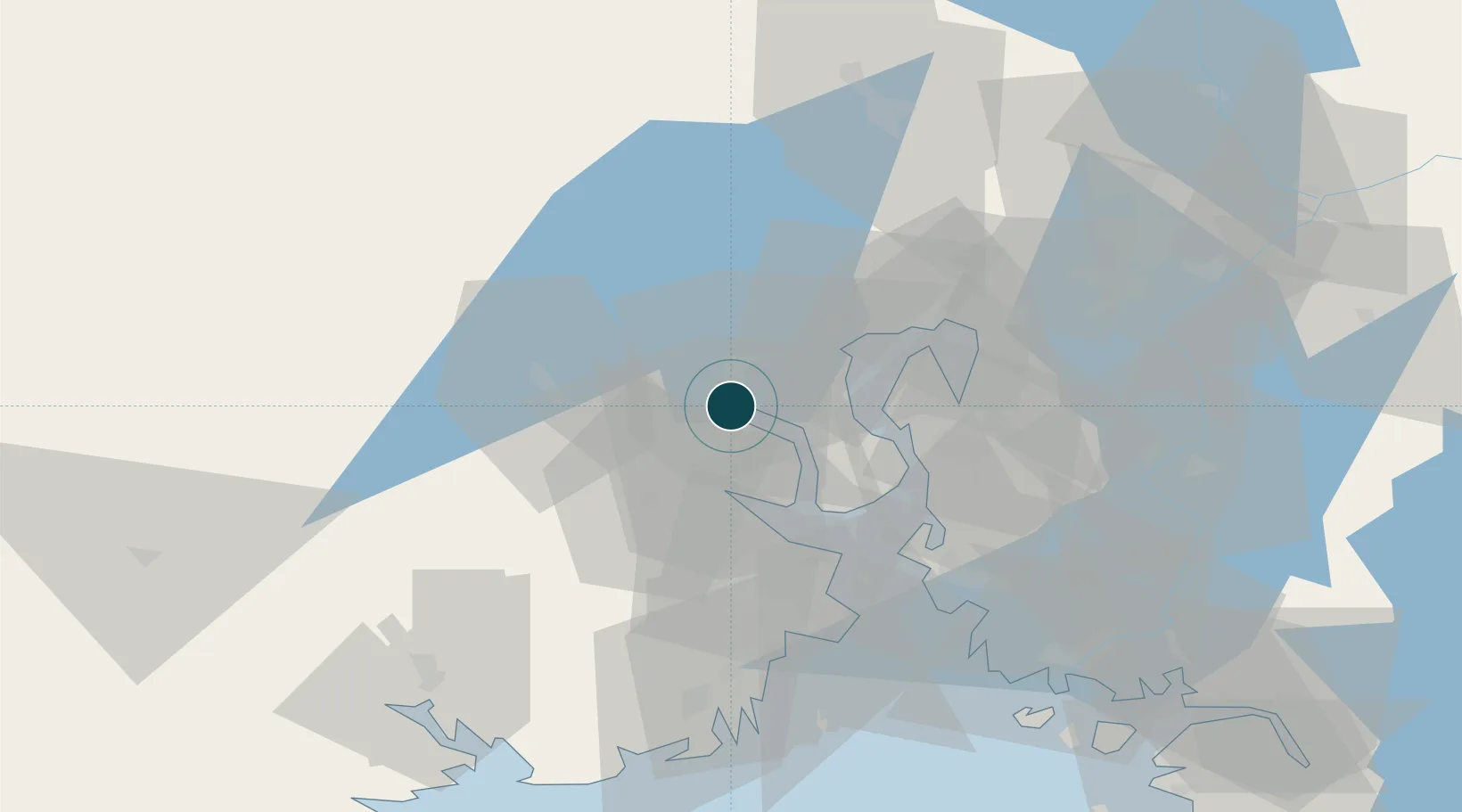
59.7333°, 10.2500°
9.4 m
Channel depth
1
Container terminals
12.4
Port liner connectivity
Channel & Berth Profile
Pilotage, Tugs & Services
Pilotage compulsoryNO
Pilotage availableYES
Pilotage advisableYES
Tug assistanceYES
Shore powerYES
Potable waterYES
Diesel bunkersYES
MedicalYES
Garbage disposalYES
Facilities & Capabilities
ContainerYES
Ro-RoYES
Liquid bulkYES
Dry bulkYES
Oil terminalNO
Break bulkYES
Dry dock—
RepairsNO
BunkeringYES
Rail linkYES
Dangerous cargo—
ISPS security—
Harbour Specifications
Harbour size
Medium
Harbour type
Coastal (Breakwater)
Shelter
Good
Water body
Skagerrak; North Atlantic Ocean
Overhead limit
Yes
Pilotage
No
Liner Connectivity
12.4
PLSCI
Port Liner Shipping Connectivity Index for Drammen, as published by UNCTAD for the latest available quarter. Higher values indicate stronger scheduled liner-shipping integration.
Shown relative to the highest per-port PLSCI in the dataset (1,657.9).
Location
Container Terminals · 1
DRAMMEN TERMINAL
DRMT DRAMMEN HAVN AS
Nearby Logistics Neighbours
Ports
- 1Svelvik16 km
- 2Fagerstrand19 km
- 3Drobak23 km
- 4Holmestrand27 km
- 5Tofte28 km
Cities
- 1Spikkestad5 km
- 2Tranby6 km
- 3Solbergelva11 km
- 4Slemmestad14 km
- 5Bjørkås15 km
Airports
- 1Moss Airport, Rygge50 km
- 2Sandefjord Airport, Torp61 km
- 3Notodden Airport61 km
- 4Oslo-Gardermoen International Airport70 km
- 5Skien Airport72 km
Trade Zones
DatabookThe Record of Consolidated Knowledge
Norway beyond logistics?